


XMap User Guide
82
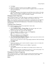
1. Click the Map Data tab.
2. Under Secondary Map or Primary Map, click the plus sign next to the
XData dataset for which you want to modify the properties.
3. Highlight the dataset name, click Data, and then click Properties.
The User Database Connection Properties dialog box opens.
OR
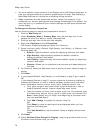
Right-click the XData dataset and click Properties.
The User Database Connection Properties dialog box opens.
4. Under Set Data Zoom Range For Display, drag the gray tab markers to the
minimum and maximum level you want.
The minimum and maximum zoom range displays above the Set Zoom Range
For Display area.
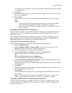
5. Click Next.
6. Select the check box next to each connection usage you want to include with
your properties.
Note Select the Include in Name Search check box to search for the
contents of your XData dataset using the Find tab (additional address
information is required). If you select the Add to World Placename
Dictionary check box in addition to the Include in Name Search check box,
you can use the Find tab to search the contents of your XData dataset without
providing additional address information.
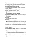
7. Click Finish.
The properties for that XData dataset are modified and are visible on the
map.
Note The property changes are made only in the current project. You must
save your project to retain the property changes.