


Using GPS
329
Safety
Warnings
• Bring a passenger along to serve as GPS operator while you are
driving a vehicle.
• Do not use this application with automatic navigation, guidance
systems or for any purpose requiring precise measurement of
distance or direction.
Initializing GPS
Before you can begin GPS tracking, you must connect your GPS receiver to your
portable computer. Select the correct GPS receiver and change location, time, and
preference settings as needed.
Before beginning your GPS setup, read the user manual for your GPS receiver. Also,
ensure you have the appropriate cable and any necessary adapters to connect your
GPS receiver to the communications port of your portable computer.
If you have an Earthmate GPS device, it is not necessary to follow these instructions.
Your device is automatically enabled when it is connected. Just click Start GPS to
begin tracking.
To Initialize Your GPS Receiver
The initializing process can take several minutes before the program detects the
correct communications (COM) port and updates the current settings. Use the
following procedure to initialize your GPS receiver for use with your application.
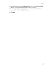
1. Connect your GPS receiver to your computer, set the receiver to the mode
specified in your user manual, and then turn the on receiver, if necessary.
2. Click the GPS tab and then click Clear Trail to delete any GPS points from
the current map display.
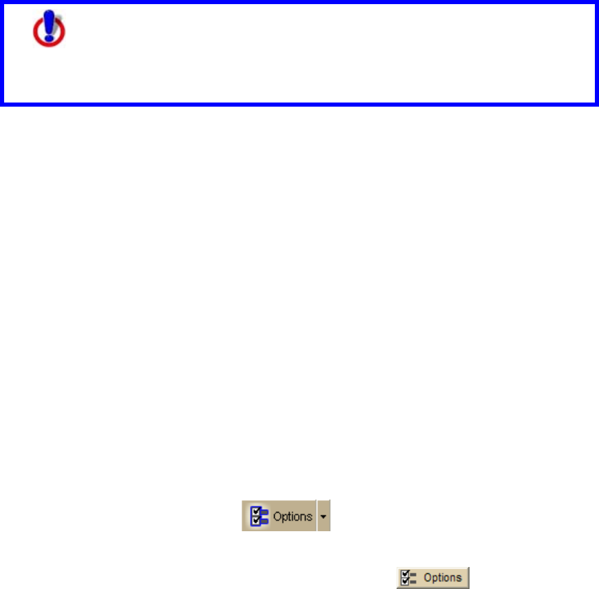
3. Click the Options button
on the toolbar (or click the menu
arrow and click Options) and then click the GPS Settings tab.
OR
Click the GPS tab and click the Options button
.
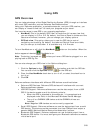
4. Select any or all of the following check boxes and click OK when finished. The
description is for the state when the check box is selected:
Use NavMode–Enables a hands free full-screen view that you can
view in 2-D or 3-D.
Snap to route–Automatically locates the place on the route that is
closest to your vehicle's current location.
Start GPS log–Automatically generates a GPS log.
Use High-Contrast colors–Automatically enables high-contrast map
colors.
Magnify map–Automatically magnifies the map view to the specified
magnification (125%, 150%, 175%, or 200%).
Recenter map on GPS–Automatically centers the map on the GPS.
Rotate map in GPS direction–Automatically rotates the 2-D/3-D
map in the direction of travel. Direction of travel always displays as
the top of the screen, regardless of compass direction.