


XMap User Guide
104
Redlining
Creating Redline Edits
This Help topic describes features that are available in XMap
Professional, XMap GIS Editor, and XMap GIS Enterprise.
Redlining refers to the process of adding MapNotes/symbols or drawing shapes to
"mark up" GIS layers without actually editing the layers themselves. Redlines utilize
the draw capabilities of the Draw tab and are saved in a draw layer that is created
when redlining begins.
Redline draw layers have connections with a special type of GIS layer (called Redline
Layer) on an Enterprise Database that the user has a subscription to. After redlines
are made on the map, they will be synchronized with the redline GIS layer during the
subscription synchronization process. The layers are stored as attribute records
within the redline GIS layer, with the draw file imbedded in a column with a
document link that opens the draw file when clicked.
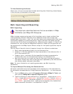
To Create Redline Edits
Use the following steps to create redline edits.
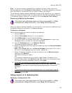
1. View a layer that is part of a subscription.
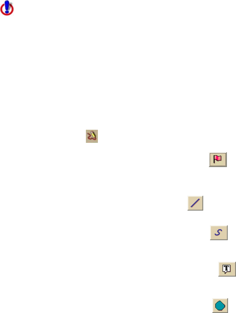
2. Click the Redline tool
on the toolbar.
The Redline toolbox opens.
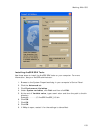
3. If you want to place a symbol on the map, click the Symbol tool
,
select the symbol set that contains the symbol you want from the Set drop-
down list, and then select the symbol from the Style drop-down list. Then,
click the location on the map where you want to place the symbol.
OR
If you want to draw a line on the map, click the Line tool
, select the
line color and line style, and then draw the line at the map location.
OR
If you want to draw freehand on the map, click the Scribble tool
,
select the scribble color and style, and then draw the scribble at the map
location.
OR
If you want to place a MapNote on the map, click the MapNote tool
,
select the font color and size, and then click the location on the map where
you want to place the MapNote.
OR
If you want to draw a polygon on the map, click the Polygon tool
,
select the polygon fill color and fill style, and then draw the polygon at the
map location.