


Getting Started
21
Notes
• The measure tool is the best way to measure short distances on the map. If you
want to measure the distance of a road, try creating a route. If you want to
measure a large area on the map, use the area object tools in the Draw tab.
• To disable the auto-snap function, hold down the ALT key on your keyboard
while using the Measure tool.
• Measure objects (lines and areas) are saved with the current project. When you
create a new project, the measure objects do not display. If you want the same
measure objects on your new project, you must recreate them.
• To view information about a measurement line, right-click it and click Info. The
measurement information is automatically displayed in the Info tab.
To Measure Distance or Area
Use the following steps to measure linear distance or area on the map.
1. Verify you have the correct units of measure selected in the Display tab of the
Options dialog box. For more information, see Setting Units of Measure
Preferences.
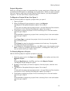
2. On the toolbar, click the Measure tool
. The pointer changes to .
3. Click point-by-point to draw a measurement line on the map. A text box
displays next to your pointer indicating the total distance of the measurement
taken.
Note When you pass over a point in a road, measurement line, or
measurement area to which you can snap, a yellow circle
defines the snap
point. Click to snap the point of the measure line to the road or measurement
object's point coordinate.
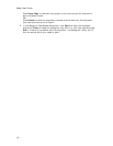
4. To end a measurement line, double-click the last point of the measurement
line.
OR
Click the last point of your measure line or area and then click the Measure
tool on the toolbar.
The measure line is a two-pixel wide yellow line and the total length of the line
is displayed in a label at each endpoint of the line.
5. To end a measure area, hover over the starting point until the yellow snap
circle
displays, and then double-click the last point to the starting point. The
closure area is transparently shaded, and the area and perimeter
measurements display.
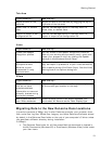
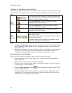
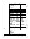
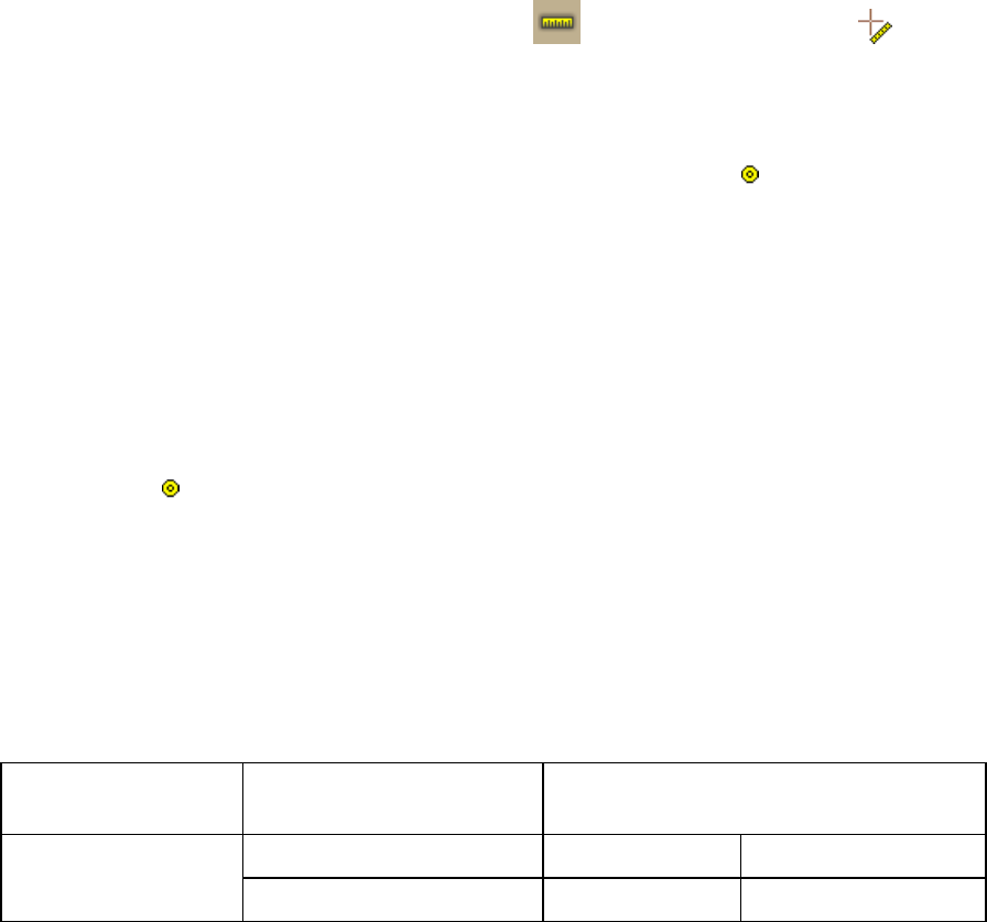
Chart of Supported Coordinate Formats
These are the supported search formats. Sample coordinates are for Yarmouth,
Maine.
Tip Examples of search formats are listed in the Advanced search drop-down text
boxes along with a history of your most current search criteria.
Coordinate
Format
QuickSearch Advanced Search
N 43 48 30, W70 9 52 N 43 48 30 W70 9 52 Latitude/Longitude
N 43 48.4910, W 070 N 43 48.4910 W 070 09.8440