


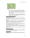
Using the Draw Tools
237
Notes
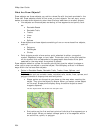
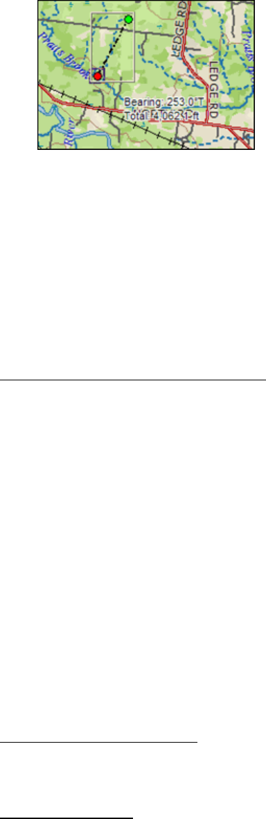
• When you click the start or last end point of the line segment
within a line draw object and the Show Measurement check box is
available (when using the Polygon or Line tool) and selected, it
displays the bearing or angle of that point of the line, the length of
the line segment (leg), and the total length of the entire line
object on the map.
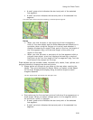
• When you click the start or end point of the line segment within a
polygon draw object, a text box displays the bearing or angle of
that point of the line, the length of the line segment (leg), and the
total area of the polygon on the map.
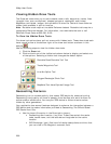
• Points in Rectangles, Circles, and Arcs
Draw objects such as rectangles, circles, and arcs also contain points, but
they are treated differently.
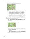
Rectangles–Contain shape points at the four corners, but the lines between
the shape points contain no editable end points. When you click one of these
shape points, a text box displays the width, height, and area of the rectangle
on the map.
Circles–Contain no shape points, but have a central point that does not
display until you snap it (see Note below) to another object. Clicking the circle
displays a central crosshair within the circle and a text box containing
information on the area and radius of the circle on the map.
Arcs–Contain three shape points. When you click any of the points, a text
box displays the angle or bearing of the selected point, the radius of the arc,
and the total length of the arc line on the map.
Only the first and second points you placed on the map when creating the arc
are treated as start and end points (i.e., show red or green when clicked).
The central magenta shape point, or third point you placed, determines the
shape of the arc.
Note For information on snapping a draw object to another draw object, see
Snapping Draw Objects.
• Points in Point Draw Objects
Point objects, such as waypoints, symbols, and text, do not have shape or
end points. Text label objects contain a point at the bottom center of the text
label box and are only visible during a snap.
• Points in MapNotes
MapNotes do not have shape or end points. They contain an anchor point at
the end of the text box. Clicking the MapNote displays a central crosshair at
the anchor point.