


Using the Draw Tools
259
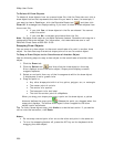
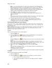
Routable Roads, Trails, Tracks, Lines, Arcs , and
Splines
Drawing Routable Roads or Trails on the Map
The Routable Road and Routable Trail tools allow you to add a new road or trail to a
draw layer in the current project. You can then incorporate any new roads you add to
a route when you create a route. You must be at data zoom level 11-0 or greater
when adding roads or trails with the Routable Road tool or Routable Trail tool.
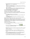
Note Routable roads require a routable DeLorme dataset. Routable trails require a
topographic DeLorme dataset. For information, visit www.delorme.com or call
DeLorme Direct Sales at 800-561-5105.
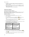
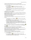
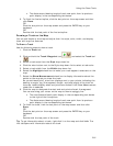
To Draw Routable Roads or Trails
Use the following steps to add routable roads/trails to a road layer.
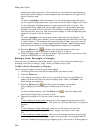
1. Click the Draw tab.
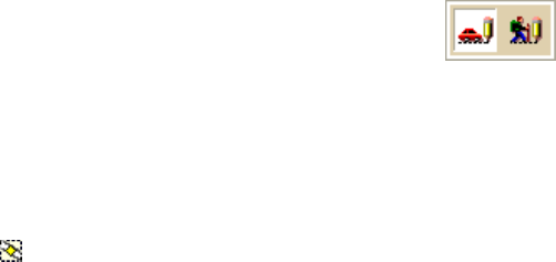
2. Click and hold the Routable Road/Routable Trail tool
and select
the tool you want.
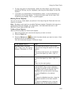
3. Type the name of the road or trail you want to add in the Road/Trail Name
text box.
Name each routable road/trail you add so you can locate it using the find
feature.
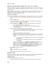
4. Hover the mouse pointer over existing roads and trails to display the yellow
diamond symbol
. The yellow diamond symbol indicates where on an
existing road the point for your new road will connect (connection point).
Notes
• The new road must connect to an existing non-limited access road for
routing to occur on the new road.
• Each time you intersect an existing road or trail, hover the mouse
over the road/trail to display the yellow diamond symbol and click to
create a connection point before continuing to draw. If you draw the
line over the road/trail without creating a connection point, routing
cannot occur along the intersection.
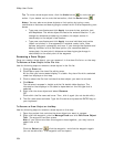
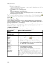
5. Once you locate the connection point for your new road or trail, click the map
to place the first point. Click point-to-point or drag to add the new road/trail
to the draw layer.
The following information is available as you add each point in your road or
trail:
• The coordinates of each point display in the corresponding text boxes.
• The distance and bearing/angle of each new point from its previous
point display in the corresponding text boxes.
6. To finish the line draw for the new road or trail, enter the last point on the
map screen and click Done.
The new road or trail displays on the map with the name you typed in the
Road/Trail Name text box.
You can also finish the line draw by pressing the ENTER key on your keyboard
or double-clicking while entering the last point of the line.