


Working With GIS
145
9. If you selected a numeric field in step 7, select the decimal place to which you
want to round your value from the Round At drop-down list.
10. From the Vary By drop-down list, select how you want to vary your value.
Note The Custom option allows you to customize classifications that do not
follow a set scheme or pattern. If you change the symbolization of a class in
an existing classification, the Vary By option automatically changes to Custom
and any new classes that you add to the classification are assigned the
default symbology for that layer's geometry type; for example, green in color.
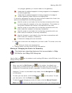
11. If you selected Fill Color in step 10, select a color scheme from the Scheme
drop-down list.
• Sequential–Displays a color that progresses from low to high (or high
to low) in color value.
• Qualitative–Displays colors that vary in color hue to represent
different legend classes.
• Diverging–Puts equal emphasis on mid-range critical values and
extremes at both ends of the data range.
Then, select a color pattern from the Pattern drop-down list.
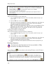
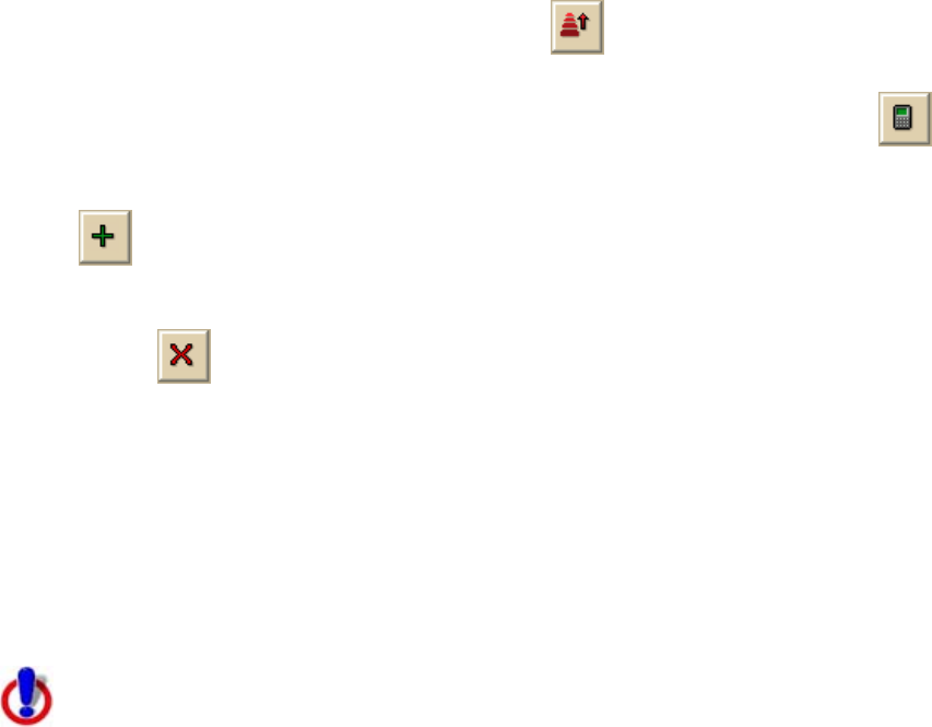
12. Optional. Click the Reverse Order button
to reverse the style for how
your classes are varied.
13. Optional. To edit an existing classification, click the Recalculate button
to recalculate the classification.
14. Optional. To add a class to your classification, click the Add Class button
. Double-click in the Value and/or Legend Label fields to edit the
values.
15. Optional. To remove a class from your classification, click the Remove Class
button
.
16. Click OK.
Note Once you create a unique value classification, you can use the classification
menu on the toolbar to edit the classification of a selection on the map. The
classification tool on the toolbar is available only for active layers with a unique value
classification and only after you click either the edit points tool, the edit tool, or the
draw tool and select a geometry.
Classifying a Layer with a Range
This Help topic describes features that are available in XMap
GIS Editor and XMap GIS Enterprise.
When you classify a layer with a range, the data in the layer is clustered into classes
based on a statistical algorithm and each class is varied by color or size)
characteristics.