DeLorme Topo North America Help
27
hyperlink, right-click the feature and then click Open Hyperlink OR click the URL in the
Info tab.
To Create a Profile
To create a profile:
1. Center your 2-D map
on the area with the linear object you want to profile.
OR
Center the route
you want to profile on the map.
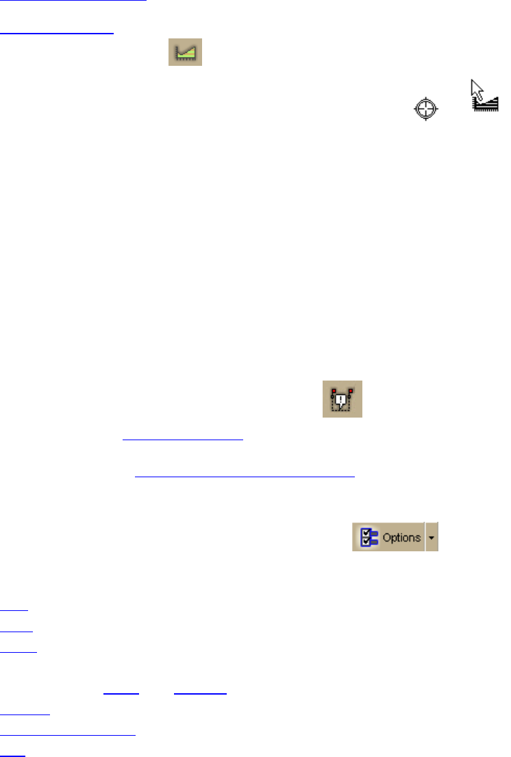
2. Click the Profile button
on the toolbar.
3. Move your pointer over the map. The pointer changes from
to when it
passes over an object that you can profile.
4. Select a linear object or route on the map to generate its profile.
When the object is selected, it is highlighted and the Profile graph displays in the
Profile tab area.
Note Move your pointer along the elevation profile in the Profile graph. The
intersection of the vertical and horizontal blue lines travels along the top of the
terrain profile. These lines indicate the height and distance of the particular location.
A small crosshair follows along the corresponding object on the map.
You can also right-click a linear object or route on the map and click Profile. For more
information about profiles, see the Help topics under Profiling Linear Objects.
To Add Images and Data to a GPS Location
To open the GeoTagger Wizard, where you can combine images and data with GPS
information on the map, click the GeoTagger button
on the toolbar.
The Geotagger button is hidden by default
; to show it, right-click the toolbar to open the
menu and click Geotagger.
For more information, see Getting Started with GeoTagger
.
To Choose Options
To open the Options dialog box, click the Options button on the toolbar. Use
the Options dialog box to set preferences for program options.
The Options dialog box has the following tabs:
• GPS
• Sync
• Voice
• Find (GPS Radar)
• Map Features (Basic
and Custom)
• Display
• Keyboard Shortcuts
• 3-D


