


DeLorme Topo North America Help
233
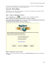
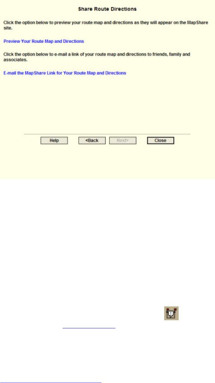
Step 8—Exit the MapShare Wizard
Click Close to exit the MapShare Wizard.
Using GeoTagger
Getting Started with GeoTagger
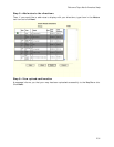
Use the GeoTagger Wizard to:
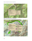
• Sync digital photos with GPS log files (.gpl) and track files (.an2) and tag them to
the location you took them. You can place images as an actual image on the map, a
MapNote with a hyperlink, or a symbol with a hyperlink.
• Match GPS logs and tracks to time-related information downloaded from supported
devices. For example, you can download a track that includes your heart rate from
an athletic device and view the data in the Profile tab. The program uses the
following file formats: Suunto (*.sdf), Timex Trainer CSV (*.csv), or Generic CSV File
(*.csv).
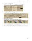
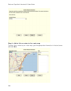
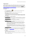
To open the GeoTagger Wizard, click the GeoTagger
button on the toolbar. The
Geotagger button is hidden by default
; to show it, right-click the toolbar to open the menu
and click GeoTagger.
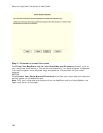
Important! Make sure the time and date on your camera or athletic device and on your
GPS device match before you begin. This ensures that your images and data are correctly
matched to the GPS log file or track file. If you do not have the correct time on your device,
you can update the information with the Timestamp Offset option in the wizard. See
Calculating the Timestamp Offset
.