DeLorme Topo North America 9.0 User Guide
218
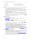
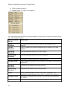
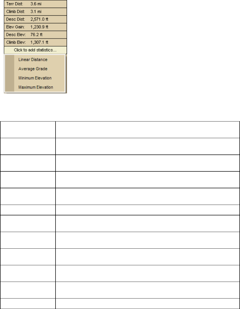
2. Click an option to add it.
3. Repeat steps 1-2 to add more options.
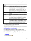
This table describes the statistic options available in the statistic list and/or the profile info
box. List options are bold.
Statistical Data
Option
Description
Linear
Distance*
The flat distance of the profile. Does not take elevation into
account.
Terrain
Distance*
The 3-D distance of the profile accounting for elevation rise and
descent.
Climbing
Distance*
The total distance where the terrain is uphill.
Descending
Distance*
The total distance where the terrain is downhill.
Current Elevation The elevation above sea level at a specific point.
Elevation Gain* The difference in elevation from the start of the profile to the end of
the profile.
Climbing
Elevation
The amount of ascending vertical distance.
Descending
Elevation*
The amount of descending vertical distance.
Grade Actually percent grade, rise over run (100 x (rise/run)). For
example, 6 means that for every 100 ft, you gain 6 ft in elevation.
Average Grade* Average of the grade from the start to the current cursor position
(or finish).
Minimum The elevation of the lowest point on a profile.


