DeLorme Topo North America 9.0 User Guide
166
Step 1—Get ready
Create a Route
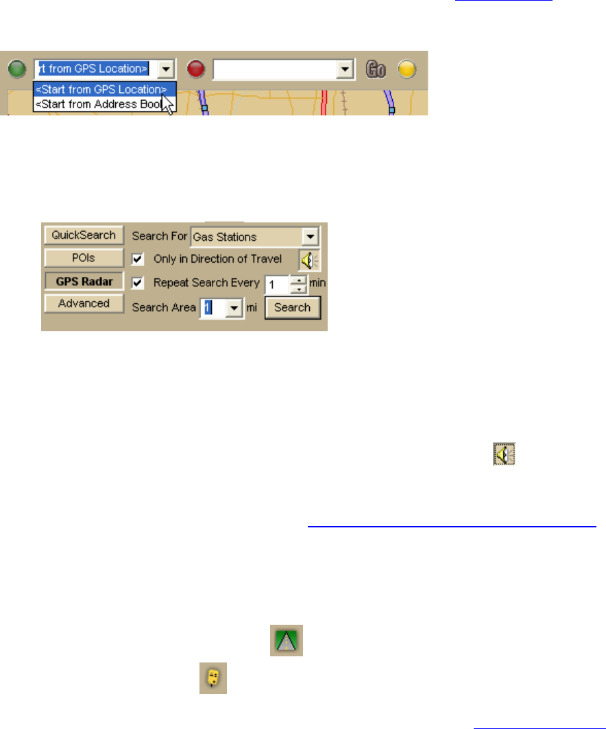
Before you get ready to leave on your trip, use the application to create a route
using your
current GPS location as the route start point and your destination as your finish. You can
create routes using the Route tab, the toolbar, or the right-click menu; in this tutorial, we
are using the toolbar.
Find POIs
You can set up your application to automatically find points of interest using the GPS Radar
option.
1. Click the Find tab and click the GPS Radar subtab to search for your category of
interest. For this tutorial, we want to know where we can find gas stations.
2. If you select the Only in Direction of Travel check box, you won't have to back
track to make your next stop; however, if you're driving in a very rural area, you
may not want to use this feature because the closest point of interest may be behind
you.
3. Select the Repeat Search Every check box and enter a number of minutes.
Important You must select this for your results to display.
4. If you want to hear the search results, click the Speech button
.
5. From the Search Area scroll list, select a distance in miles to limit your search to a
certain driving distance from your current location.
For more information about GPS Radar, see Finding Points Near Your Current Location
.
Step 2—Start the GPS
1. Connect your GPS device to your portable computer. Ensure the speakers are turned
on and loud enough for you to hear while driving.
2. Start DeLorme Topo North America.
3. Make sure the NavMode button
on the toolbar is on (appears indented).
4. Click the GPS button
on the toolbar to start your GPS.
If you are using a GPS device that is not an Earthmate GPS device, and you have not
initialized it in the mapping program before, you will need to initialize the device
using the GPS Settings tab in the Options dialog box.
Note If you do not see the GPS button on the toolbar, right-click the toolbar and
select the GPS/Exchange option.
