


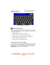
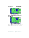
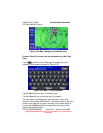
AV8OR User’s Guide Aviation Mode Operation
VFR Moving Map Function
Pub. No D200803000008 Page 3-23 Revision July 2008.
© Honeywell International Inc. Do not copy without express permission of
Honeywell.
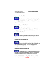
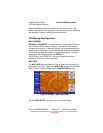
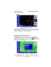
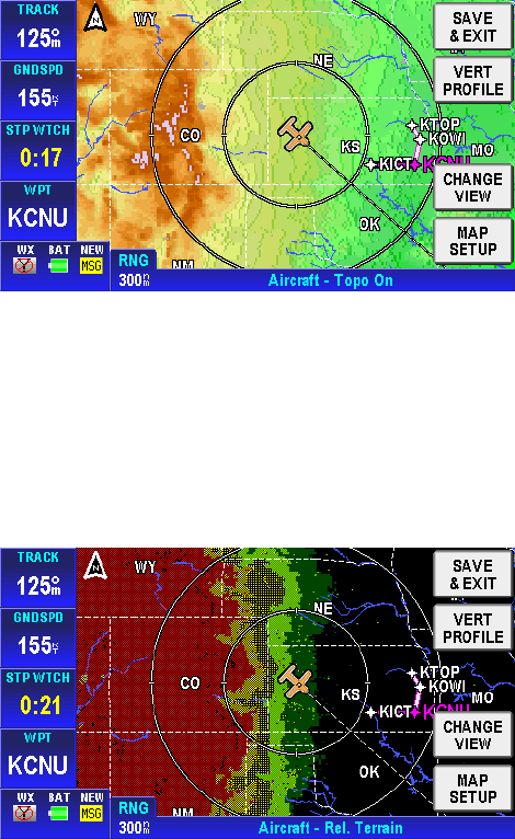
• Topo On
Figure 3-22: Map – Topo On
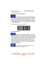
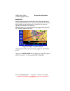
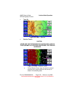
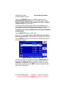
• Relative Terrain
CAUTION
NEVER USE THE TOPOGRAPHIC ELEVATION DISPLAYED ON
THIS EQUIPMENT AS YOUR SOLE REFERENCE FOR TERRAIN
AVOIDANCE.
Figure 3-23: Map – Relative Terrain
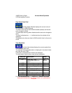
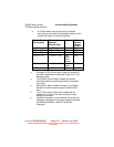
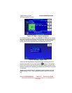
o On the Relative Terrain map, the terrain is colored
according to its height relative to the aircraft, as
shown in the following table.