1-14
Rev 4 Aug/2007
KMD 250 Pilot's Guide
Section 1
Basic Operation
General Information
GREAT CIRCLE COURSES AND MAGNETIC VARIATION
Due to “great circle” courses and magnetic variation differences between
present position and the active waypoint, the To bearing and From radial
may not be exactly 180° different from each other. This condition is
most likely to occur when long distances are involved, and/or you are
operating in very northerly or southerly latitudes.
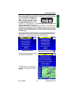
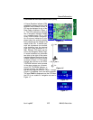
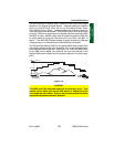
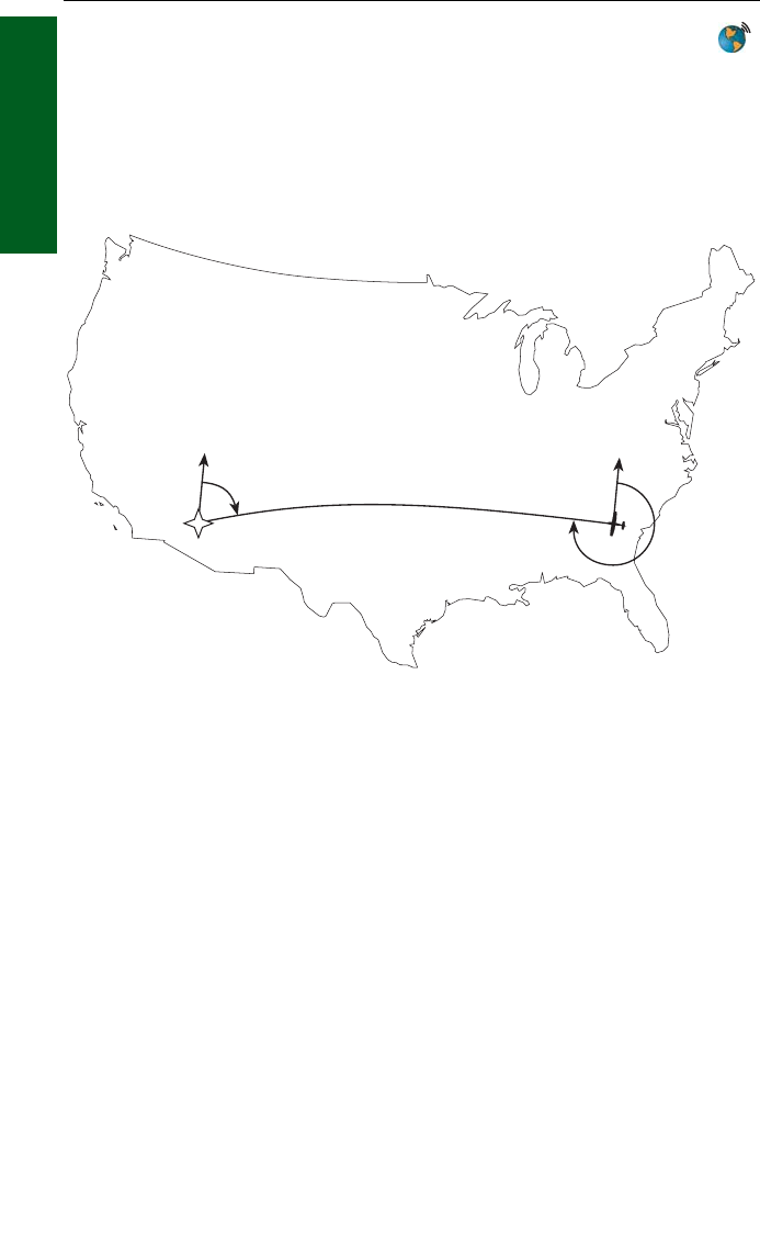
See Figure 1-8 for an example depicting a case like this. The aircraft is
somewhere over Georgia, and the active waypoint is KPHX. The bearing
to steer is 269°, and radial is 72°. Generally, bearing (not radial) will be
used when long distances are involved.
MINIMUM AND ENROUTE SAFE ALTITUDE
The Minimum Safe Altitude (MSA) displayed is the altitude defined by
Jeppesen as “Grid Minimum Off-Route Altitude (Grid MORA)”. This alti-
tude is derived by Jeppesen for sectors which are one degree of latitude
by one degree of longitude in size. One degree of latitude is 60 nautical
miles. One degree of longitude is 60 nautical miles at the equator and
progressively less than 60 nautical miles as one travels away from the
equator. One degree of longitude is approximately 50 nautical miles at
the southern most parts of the U.S. and is approximately 40 nautical
miles at the northern most parts of the U.S. The MSA altitude informa-
tion is contained in the database and is updated when the datacard is
updated.
N
N
KPHX
72°
269°
Figure 1-8


