B-7
Rev 2 Apr/2004 KMD 250 Pilot's Guide
Appendix B
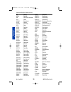
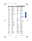
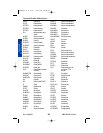
Wx Abbreviations
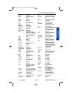
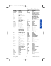
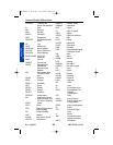
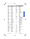
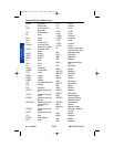
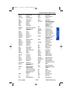
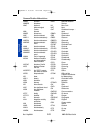
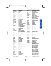
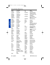
EXTRM Extreme
EXTRMLY Extremely
EXTSV Extensive
F Fahrenheit
FA Aviation area fore-
cast
FAH Fahrenheit
FAM Familiar
FC Funnel cloud
(+FC = Tornado or
water spout)
FCST Forecast
FCSTD Forecasted
FCSTG Forecasting
FCSTR Forecaster
FCSTS Forecasts
FEW Few (used to
describe cloud
cover or weather
phenomena, >0
octas to 2 octas
cloud amount)
FG Fog (METAR, only
when visibility is
less than 5/8 mile)
FIBI Filed but impracti-
cable to transmit
FIG Figure
FILG Filling
FIR Flight information
region
FIRAV First available
FIS Flight Information
Service
FIS-B Flight Information
Service - Broadcast
FIRST First observation
after a break in cov-
erage at manual
station
FL Florida or flight level
FLG Falling
FLRY Flurry
FLRYS Flurries
FLT Flight
FLW Follow
FLWG Following
FM From
FMGGgg From the time (UTC)
indicated by GGgg.
Generic WMO format
code group, indi-
cating a significant
and rapid (in less
than 1 hour) change
to a new set of
prevailing conditions
FMT Format
FNCTN Function
FNT Front
FNTL Frontal
FNTS Fronts
FNTGNS Frontogenesis
FNTLYS Frontolysis
FORNN Forenoon
FPM Feet per minute
FQT Frequent
FQTLY Frequently
FRM Form
FRMG Forming
FRMN Formation
FROPA Frontal passage
FROSFC Frontal surface
FRQ Frequent
FRST Frost
FRWF Forecast wind factor
FRZ Freeze
FRZLVL Freezing level
FRZN Frozen
FRZG Freezing
FT Feet or
Terminal Forecast
FTHR Further
FU Smoke
FV Flight visibility
FVRBL Favorable
FWD Forward
FYI For your information
FZ Freezing
Common Weather Abbreviations
Appendix B 8/13/07 10:02 AM Page B-7


