


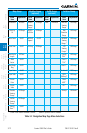
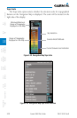
3-20
Garmin G500 Pilot’s Guide
190-01102-02 Rev. B
Foreword
Sec 1
System
Sec 2
PFD
Sec 3
MFD
Sec 4
Hazard
Avoidance
Sec 5
Additional
Features
Sec 6
Annun.
& Alerts
Sec 7
Symbols
Sec 8
GlossaryAppendix A
Appendix B
Index
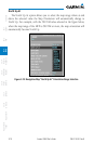
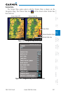
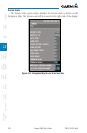
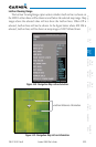
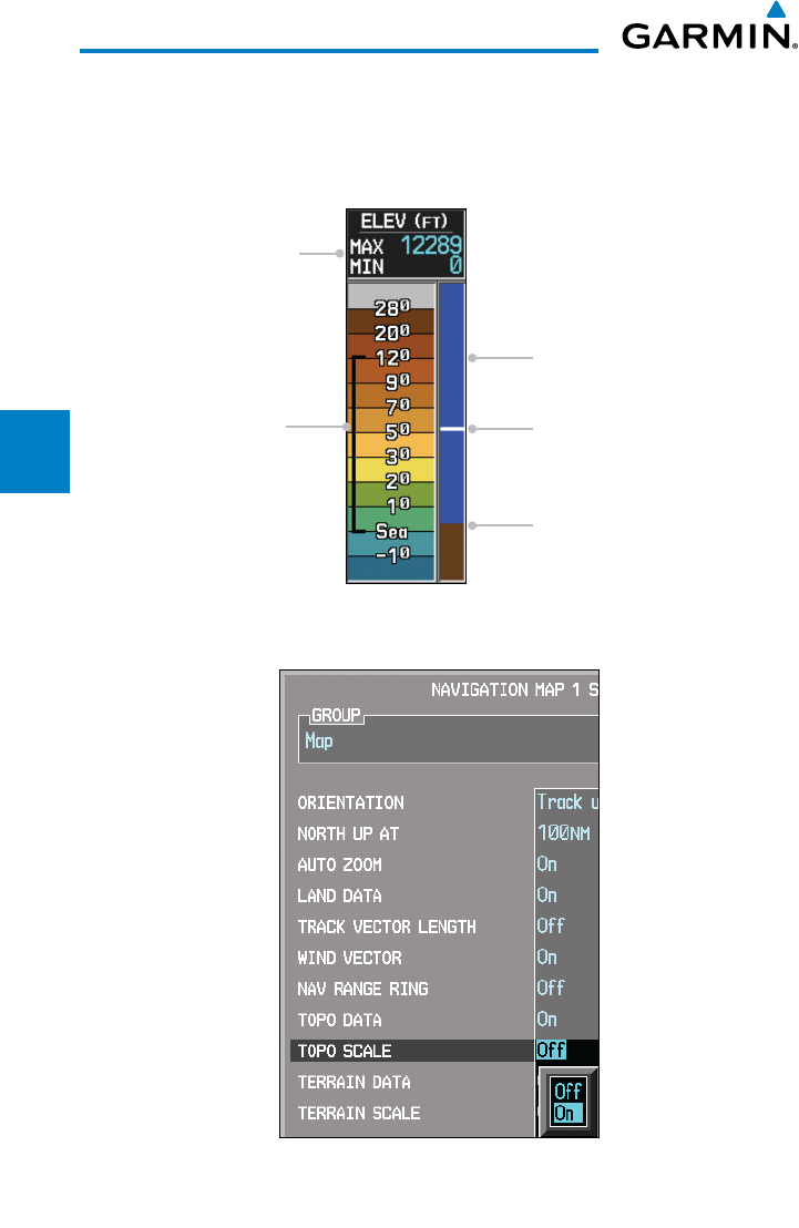
Topo Scale
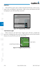
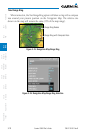
The Topo Scale option selects whether the elevation scale for topographical
features on the Navigation Map is displayed. The scale will be located on the
right side of the display.
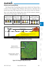
Current Aircraft Altitude
Sky Indication
Current Ground Level Indication
Range of Topography
Displayed on the Map
Minimum/Maximum
Range of Topography
Displayed on the Map
Figure 3-29 Navigation Map Topo Scale
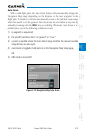
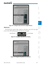
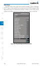
Figure 3-30 Navigation Map Topo Scale Selection