


Chapter 2: Getting Started & Adjusting the Display 2-23
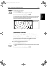
Typical Chart
Scenarios
• If Plotter Mode is Off, the chart scale remains unchanged, indicating
the smallest chart scale is displayed.
Note: If Plotter Mode is Off and the cursor is homed to the vessel (see
Using FIND SHIP on page 2-20), if the vessel moves outside an area of
available cartography, the chart will automatically re-scale to the next
range with cartography.
• If Plotter Mode is On, the scale is decreased and the message
NO CHART
DATA
is displayed. The vessel, waypoints, routes and tracklines are dis-
played without cartography.
The chart information is restored when you return to a chart scale for which the
information is available.
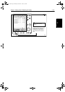
➤ To zoom out to a smaller-scale (less detailed) chart, simply press the upper part
of the
RANGE key as many times as required.
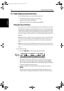
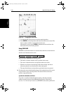
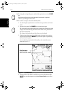
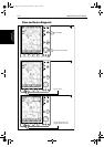
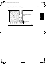
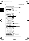
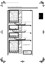
2.6 Typical Chart Scenarios
The following illustrations provide operating guidelines for typical navigation
scenarios. These scenarios can be used as a training guide; they show you how
to perform a particular operation and they introduce many of the chartplotter
functions.
Each scenario indicates the key presses required to perform particular tasks. A
typical chartplotter screen image is shown for each task.
The scenarios assume you have read the previous sections of this chapter and
that you are familiar with the Operating Controls. Full operating details for
each function are provided in Chapter 5 and Chapter 6.
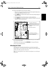
Operating guidelines are provided for the following scenarios:
• Working with Waypoints
Place a Waypoint
Goto a Waypoint
• Make and Follow a Routes
Create a Route
Follow a Route
• Review the Passage Plan
View Route Information
Change the SOG, Hours and ETA.
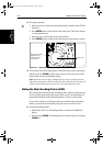
• Displaying the Radar Image and Synchronizing Radar & Chart
Changing the Full-Screen Mode & Selecting Half-Screen Windows
Radar and Chart Synchronization (Find Ship)
Cursor Echo
RANGE
81186_2.book Page 23 Monday, December 17, 2001 8:35 AM