


Chapter 5: Standard Chart Operations 5-7
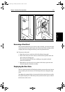
Displaying Object
Information
select the character and up/down to increase/decrease the value.
The graph and tide data will be updated accordingly.
Nearest
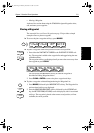
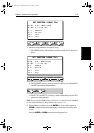
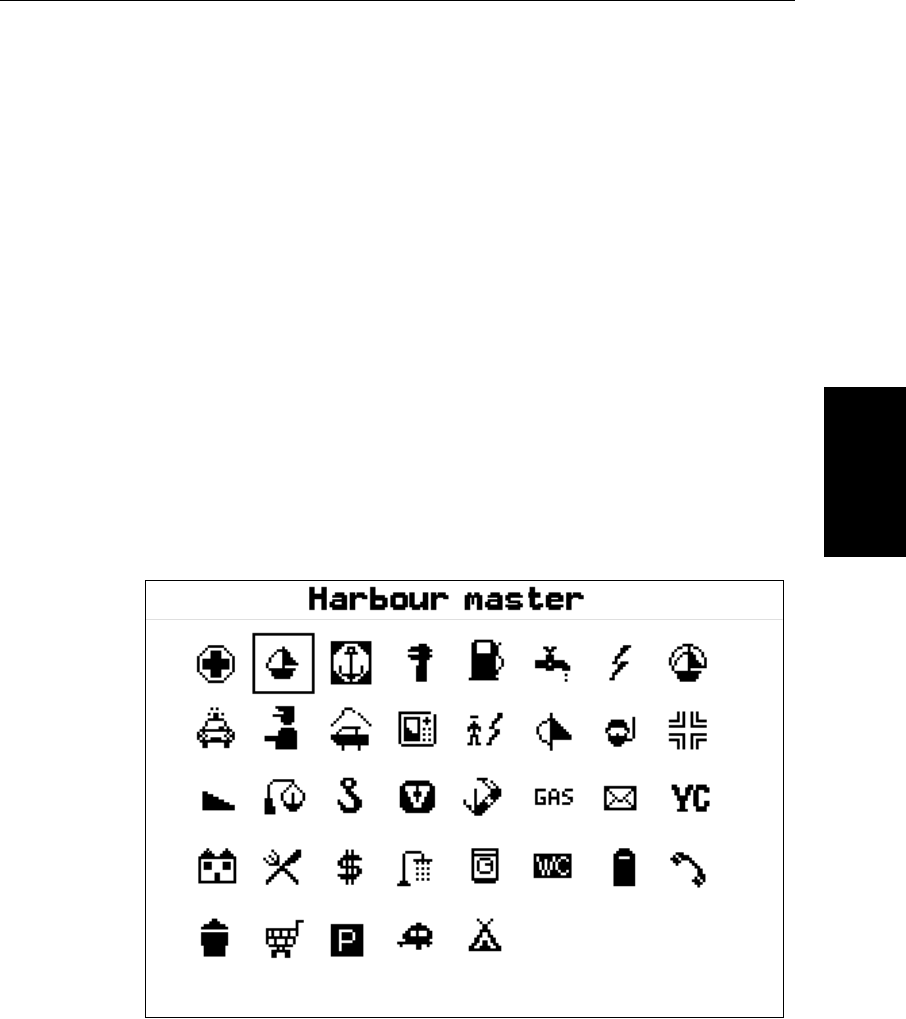
➤ To obtain the information for the nearest port facility:
1. Move the cursor to the required position – this can be anywhere on the
chart and may be over an object – then press
ENTER to display the object
information pop-up.
2. Press the
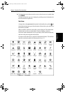
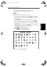
NEAREST soft key. The port facility symbols are displayed.
3. Use the trackpad to highlight the required facility, then press
ENTER.
4. The nearest ports providing that facility are listed with distance and bear-
ing to the port.
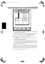
If you highlight a port name then press
ENTER, details for that facility are
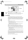
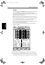
displayed. Typical port data is shown in Figure 5-4.
Press
CLEAR to return to the port list.
Press
CLEAR to return to the facility symbols.
5. Press
CLEAR to return to the default display.
Figure 5-4: Nearest Port - Typical Data
D4255_1
81186_2.book Page 7 Monday, December 17, 2001 8:35 AM