


Chapter 5: Standard Chart Operations 5-5
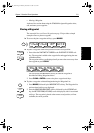
Displaying Object
Information
➤ To obtain chart source data, move the cursor so that is not over a symbol, then
press
ENTER.
An object information pop-up is displayed, providing source information for
the selected land or depth area.
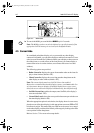
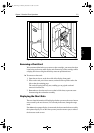
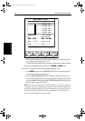
Port Area
At large chart scales port area information is indicated by the symbol . An
object information pop-up provides the name of the marina or port and a list of
the facilities available.
Where available, details for each facility can be displayed. This information
includes items such as accommodation, slip sizes, fueling, sanitation,
electrical or other maintenance services provided, VHF channels monitored,
and other safety and navigation information.
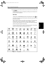
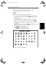
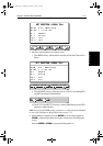
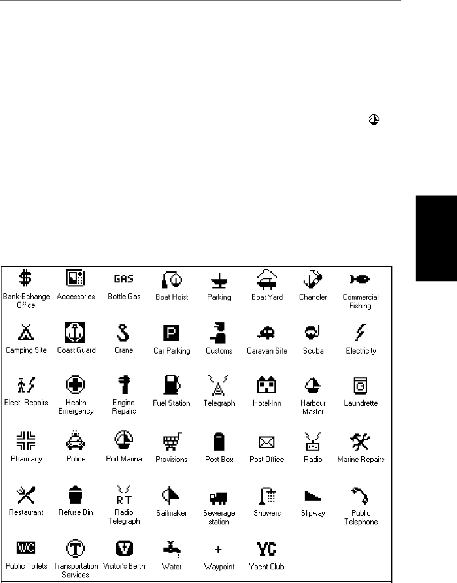
In some areas the chart shows symbols for individual facilities. The facilities
and their associated symbols are illustrated in Figure 5-2.
Figure 5-2: Port Symbols
81186_2.book Page 5 Monday, December 17, 2001 8:35 AM