


44 C-Series Display Reference Manual
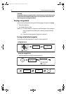
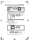
Chart cards
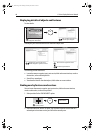
To use your C-Series Display as a navigation aid, charts with the appropriate level of
detail for the geographic area you wish to navigate are required. The charts are
available in electronic format on Navionics Chart cards. Details of these cards and how
to obtain them is given on
page iii
.
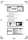
When archiving data, Raymarine recommends that you only use SanDisk brand CF
memory cards. Other brands of CF memory cards may not work in your C-Series
Display.
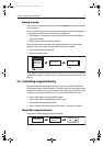
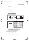
4.2 Uses of the chart application
Once the heading and position data is available you can use your chart to:
• Find out where you are (see
page 46
).
• Interpret your surroundings (see
page 47
).
• Measure the distance and bearing between two points (see
page 55
).
• Place waypoints at specific locations (see
page 56
).
• Navigate to a specific point (see
page 56
).
• Build and follow a route (see
page 59
).
• Monitor where you are going (see
page 74
).
• Distinguish between fixed and moving objects using radar overlay (see
page 76
).
• Record where you have been (see
page 78
).
• Manage and edit routes and tracks (see
page 68
and
page 81
).
• View AIS data (see
page 54
).
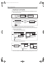
Facilities are also provided to customize your chart application to your own particular
requirements and circumstances. You can:
• Alter the way the chart is drawn in relation to your boat and the direction you are
travelling in (chart orientation and motion mode).
• Manage and edit chart data you have entered.
• Control the level of detail displayed on-screen.
Note:
To change the data displayed in the data bar at the top /side of the screen,
please refer to page 179.
81221_4.book Page 44 Tuesday, February 28, 2006 5:24 PM