


Chapter 4: Using the Chart 93
Cartography Setup
The Cartographic Setup Menu allows you to configure what is displayed on your chart:
To select the Cartography Setup Menu:
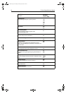
The following table details the functions and options within the Cartography Setup
menu:
FUNCTION
Description
OPTIONS
(Default in bold)
Chart Display
The level of detail shown on the chart.
Simple
Detailed
Extra detailed
Chart Grid
Grid lines of latitude and longitude.
ON
OFF
Chart Text
Text appearing on the chart e.g. place names etc.
ON
OFF
Chart Boundaries
The line indicating the boundary of the chart.
ON
OFF
Spot Soundings
Number on the chart indicating depth.
ON
OFF
Safety Contour
Areas with depths shallower that the specified value, are shaded in
a darker blue than those areas with depths greater than the speci-
fied value.
OFF
6ft
9ft
16ft
19ft
32ft
65ft
(Contour always drawn at or
deeper than the selected
depth).
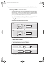
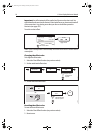
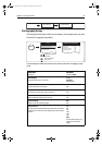
D8393_1
SET OFFSET... CLEAR OFFSET
D8392_1
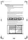
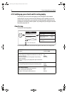
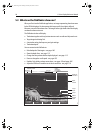
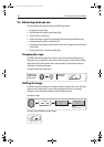
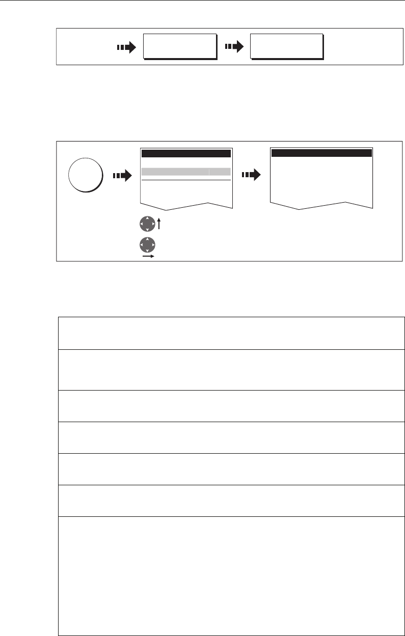
MENU
Setup
Chart Setup...
GPS Status...
Compass Setup...
Highlight Cartography
Setup menu
Enter Cartography
Setup menu
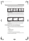
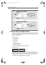
Cartography Setup Menu
Chart Display Detailed
Chart Grid On
Chart Text On
Chart Boundaries ON
Spot Soundings ON
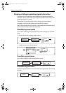
Carto
g
rap
h
y Setup..
.
81221_4.book Page 93 Tuesday, February 28, 2006 5:24 PM