


Chapter 4: Using the Chart 47
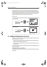
A feature of the chart is ‘autoscale’. If you select a chart scale that does not have
cartographic detail in some areas, the chart will use the most detailed level available
for the surrounding area and stretch it to fit the selected scale. This means that you will
never have blank or hatched areas on your screen. However there may be some mis-
alignment of objects which cross the chart boundary in this area.
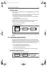
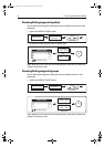
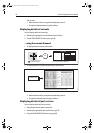
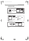
To zoom in/out:
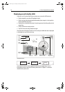
4.7 Additional information on the chart
Depending on the chart card you are using, you will also be able to view some or all of
the following addition information:
• Details of each cartographic object that is marked on the chart, including source
data for structures, lines, open sea areas etc.
• Details of ports, port and business services, tidal and current information, wrecks
and obstructions.
Note:
For full details of the features available with each chart card type, please refer to
the Navionics website:
www.navionics.com or navionics.it.
To change the set up options to control how selection of object information operates -
see
page 90
.
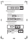
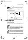
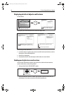
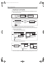
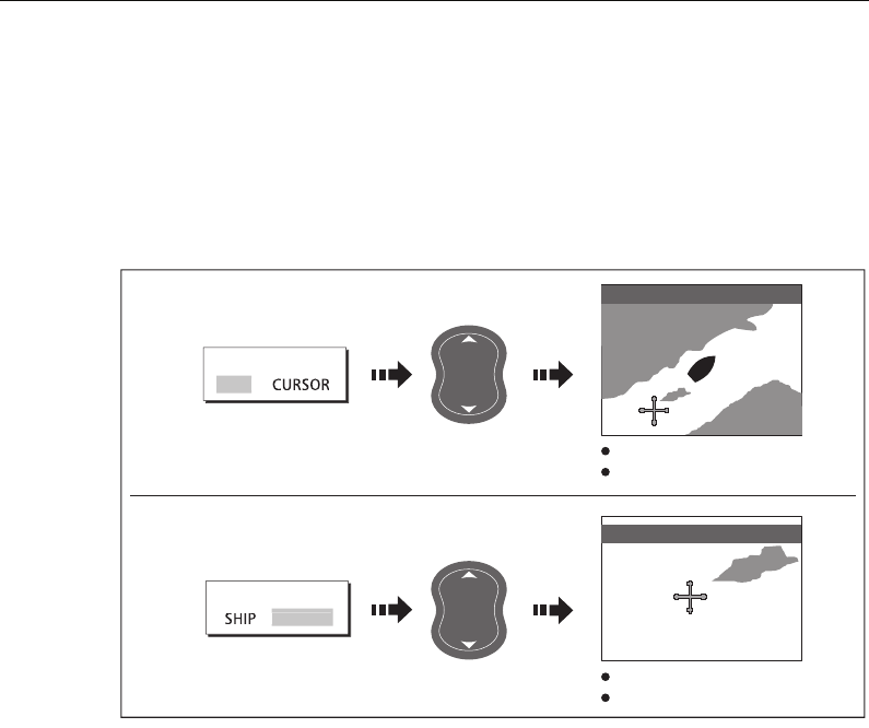
... about your boat:
... about the cursor:
Chart zooms in/out on your boat
Motion mode active
Chart zooms in/out on the cursor
Motion mode inactive
e.g.
e.g.
D9006_1
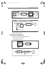
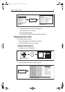
FIND
FIND
SHIP
CU
R
SOR
FIND SHIP selected
FIND CURSOR selected
D6585-1
OUT
IN
RANGE
D6585-1
OUT
IN
RANGE
3nm N-UP RM Sys
1nm N-UP (RM) Sys
81221_4.book Page 47 Tuesday, February 28, 2006 5:24 PM