


Chapter 3: Working with Waypoints 29
Chapter 3: Working with Waypoints
This chapter gives details of how to place, edit, manage and navigate to a waypoint.
3.1 What is a waypoint?
A waypoint is a position marked on a chart, radar or fishfinder window to indicate a
site (for fishing, diving etc.) or as a place to navigate to. By default, all waypoints are
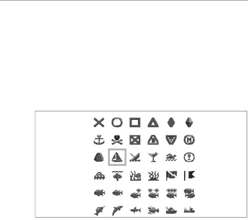
indicated on screen by a waypoint symbol -
x. This symbol can however be changed if
you wish. You can also select an alternative symbol to be used as the default for newly
created waypoints.
Note:
For details of how to change the symbol, please refer to page 35.
Waypoints are a core feature of the C-Series display. They can be created in any
application and are displayed on the radar, chart and fishfinder windows. A series of
waypoints can be combined together to form a route.
The details of all waypoints, irrespective of the application they were created in, are
stored in a dedicated waypoint list which will hold up to 1000 waypoints. All waypoints
are by default, placed in the MY WAYPOINTS group. If required, you can create new
groups and change the default group. If necessary, waypoints can be archived to a
CompactFlash card or transferred to another NMEA compatible instrument. If the
system receives an active waypoint over SeaTalk or NMEA, it is displayed but cannot be
edited.
If required, you can prevent access to, modification and sight of your waypoint and
route databases and functions by means of a password. For more information see
page 23
.
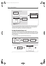
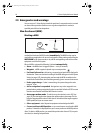
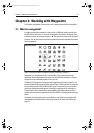
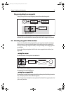
Waypoint symbols
D8696_1
81221_4.book Page 29 Tuesday, February 28, 2006 5:24 PM