User’s manual maps + more
- 72 - Working with the map
Operating the map
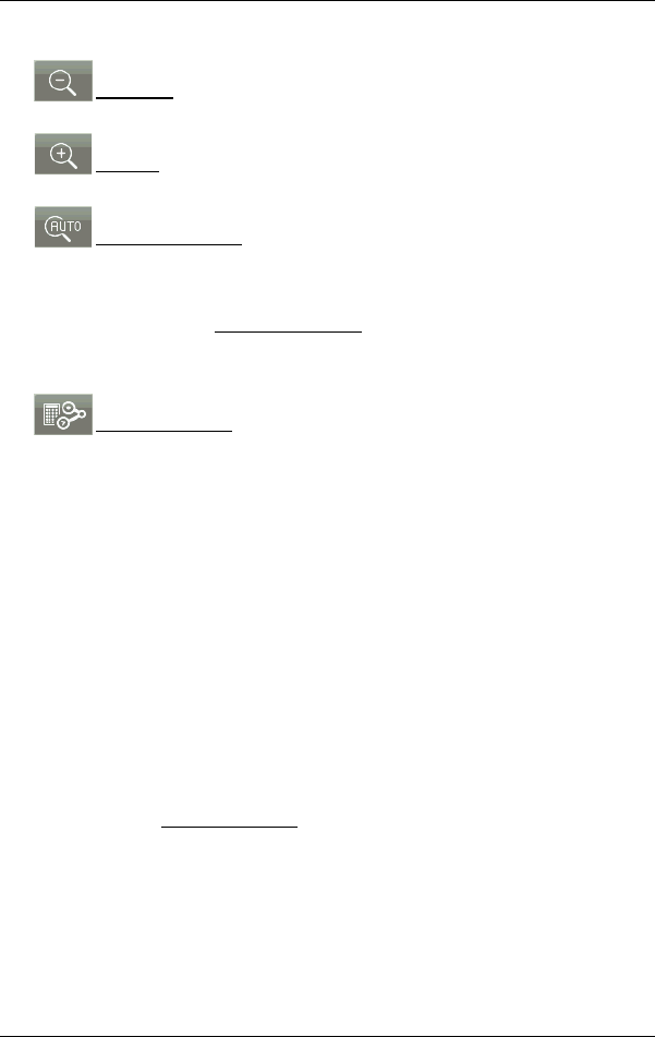
Zoom Out: The map section shown becomes larger, but you will see
fewer details.
Zoom in: The map section becomes smaller, but you will see more
details.
Centre the position: During pedestrian navigation you can shift the
visible map section in order to view the surrounding area on the map.
This may mean that your current position can no longer be seen on the
visible section of the map.
► Tap on the Centre the position button if your current position can no
longer be seen on the visible section of the map.
Your current position will be shown again on the map.
Recalculate route: Recalculates the route. Use this function if you have
wandered far from the calculated route and would like a new route
proposal.
9.4.3 Navigation in Track mode
This mode becomes active if you have planned a route with a track for
the navigation (see "Tracks and multi-leg routes" on page 52).
After the route was shown in Preview mode, navigation was started.
First the navigation guides you from your current location to the
beginning of the loaded track. This navigation corresponds to the
navigation of the selected route profile (see "Navigation in Vehicle
mode" on page 66 and "Navigation in Pedestrian mode" on page 70).
As soon as the first recorded point of the track is reached, the
navigation switches to Track mode.
Navigation in Track mode works like navigation in Pedestrian mode
(see "Navigation in Pedestrian mode" on page 70).
There are only a few differences:
► The Recalculate route function is not available.
► If more route points follow after the track, the navigation will switch
back to the originally selected mode.


