


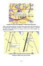
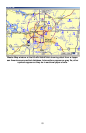


IMS Fishing Hot Spots Maps
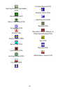
Park areas
appear in
green.
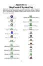
Fishing Tips
& Techniques
Lake Profile
Submerged
st
r
eam
Flooded
timbe
r
Underwa-
ter
contours &
Submerged
pond
Fishery
Pop-up box
Foundations
Brush shelter
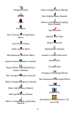
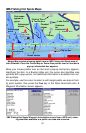
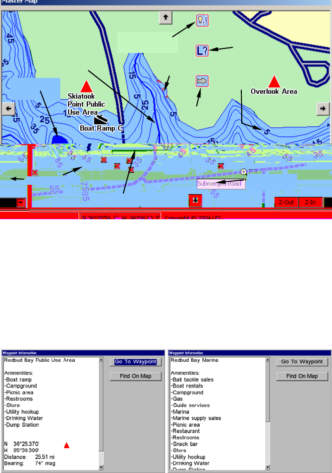
Master Map window showing detail from an IMS Fishing Hot Spots map of
Lake Skiatook. Place the Center Map or Zoom Area pointer over an item and a
pop-up information box appears.
Move your mouse pointer over an item and a pop-up tool-tip box appears,
identifying the item. In a Brunton Atlas unit, the cursor also identifies map
symbols with a pop-up box, but additional information is available from cer-
tain symbols.
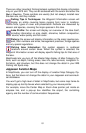
For example, use the cursor to select a red triangle public use area or facil-
ity point symbol, then press the
Find key in the Atlas hand-held units. A
Waypoint Information screen appears.
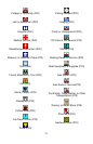
IMS Fishing Hot Spots Waypoint Information screen from a GPS unit, show-
ing amenities available at a public use area and a marina.
82