


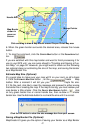
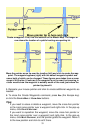
anchor point.
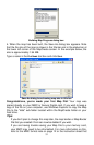
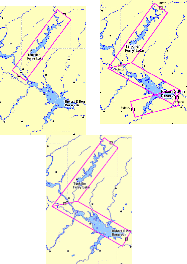
Point 3
Point 1
Point 2
Corridor with first and second anchor points set, left.
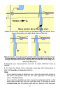
Add a second segment to the corridor with a third point, right.
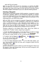
7. Now move the mouse pointer off at an angle, in the new direction
needed to follow the irregular terrain. You'll see that the active corridor bor-
der box now rotates around the last anchor point you set. This lets you
50