


78
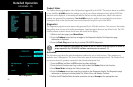
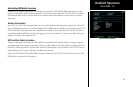
Detailed Operation
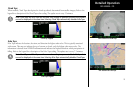
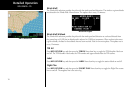
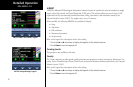
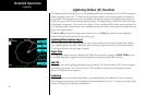
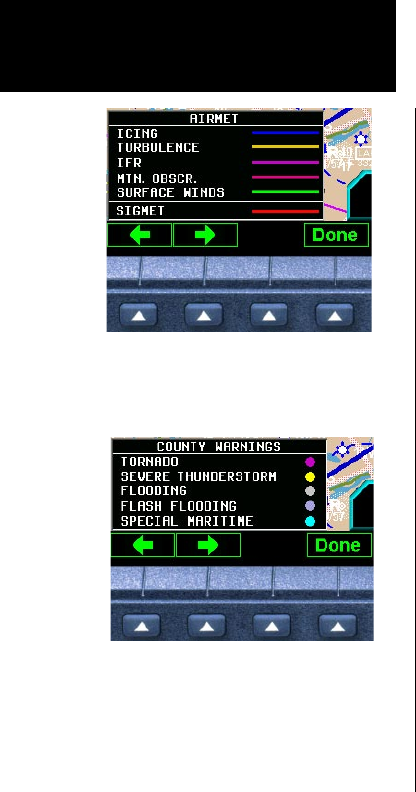
AIRMET
AIRMETs (AIRman’s METeorological Information) advises the pilot of weather that may be hazardous to single
engine, other light aircraft, and Visual Flight Rule (VFR) pilots. This advisory affects an area of a least 3,000
square miles at any one time and provides data about ceiling, obscuration, and turbulence issued by the
National Weather Service (NWS). The update rate is every 12 minutes.
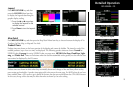
When enabled, the following AIRMETs are available for display:
• Icing
• Turbulence
• IFR conditions
• Mountain obscuration
• Surface winds
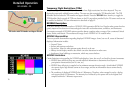
Refer to the Legend for a description of the color coding.
1. Press the or arrow keys to display the legends for the selected services.
2. Press Done to turn the Legends off.
Freezing Levels
This product is not available at this time.
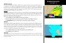
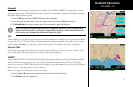
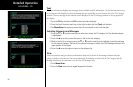
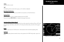
County
The County selection provides specific public awareness and protection weather warnings for Hurricanes, Tor-
nados, Severe Thunderstorms, Floods, Flash Floods, and special Maritime conditions provided by the National
Weather Service (NWS).
Refer to the Legend for a description of the color coding.
1. Press the or arrow keys to display the legends for the selected services.
2. Press Done to turn the Legends off.
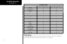
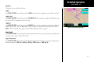
XM FIS County Warnings Legend
XM FIS AIRMET and SIGMET Legend
GDL 69/69A - FIS