


25
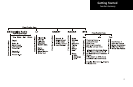
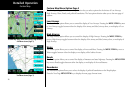
Detailed Operation
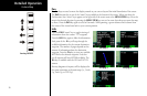
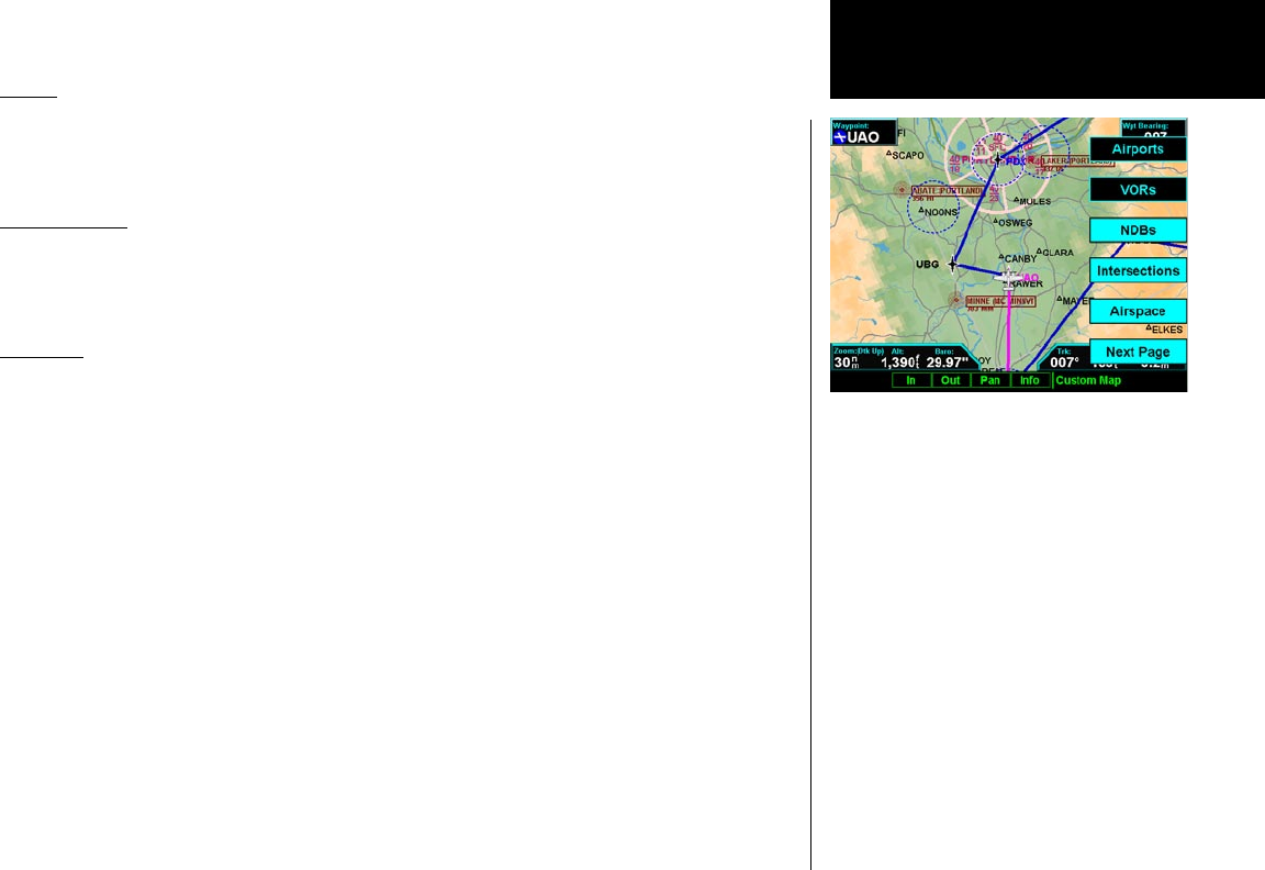
NDBs
The NDBs option allows you to choose the type of NDB information displayed on the Map screen. You may
select the display of NDB icon and identifier, icon only, or no information by each subsequent press of the NDB
MENU ITEM key.
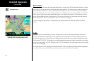
Intersections
The Intersections option allows you to choose the type of Intersection information displayed on the Map
screen. You may select the display of the Intersection icon and identifier, icon only, or no information by each
subsequent press of the Intersection MENU ITEM key.
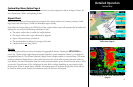
Airspace
The Airspace option allows you to control the display of airspaces. Pressing the MENU ITEM key next to Air-
space toggles between either the display of airspace boundaries and altitude information, boundaries alone, or
no display of airspaces. Airspaces defined as Class B, C, Alert, Caution, Danger, Training, Warning, MOA, Re-
stricted, and Prohibited are depicted on the display. Note that not all airspaces may be defined in the database
as one of these airspaces. Class D airspaces are not drawn; however, a circular airspace with a five mile radius is
drawn around airports with control towers. Airspaces defined as Unknown, such as the Grand Canyon, are not
drawn on the display.
Press the Next Page MENU ITEM key to display the next page of menu items.
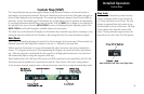
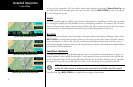
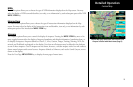
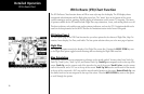
Custom Map
Custom Map page with NDBs, Intersections, and
Airspace selected with Menu Items (Page 2)