


77
Detailed Operation
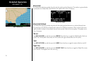
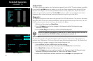
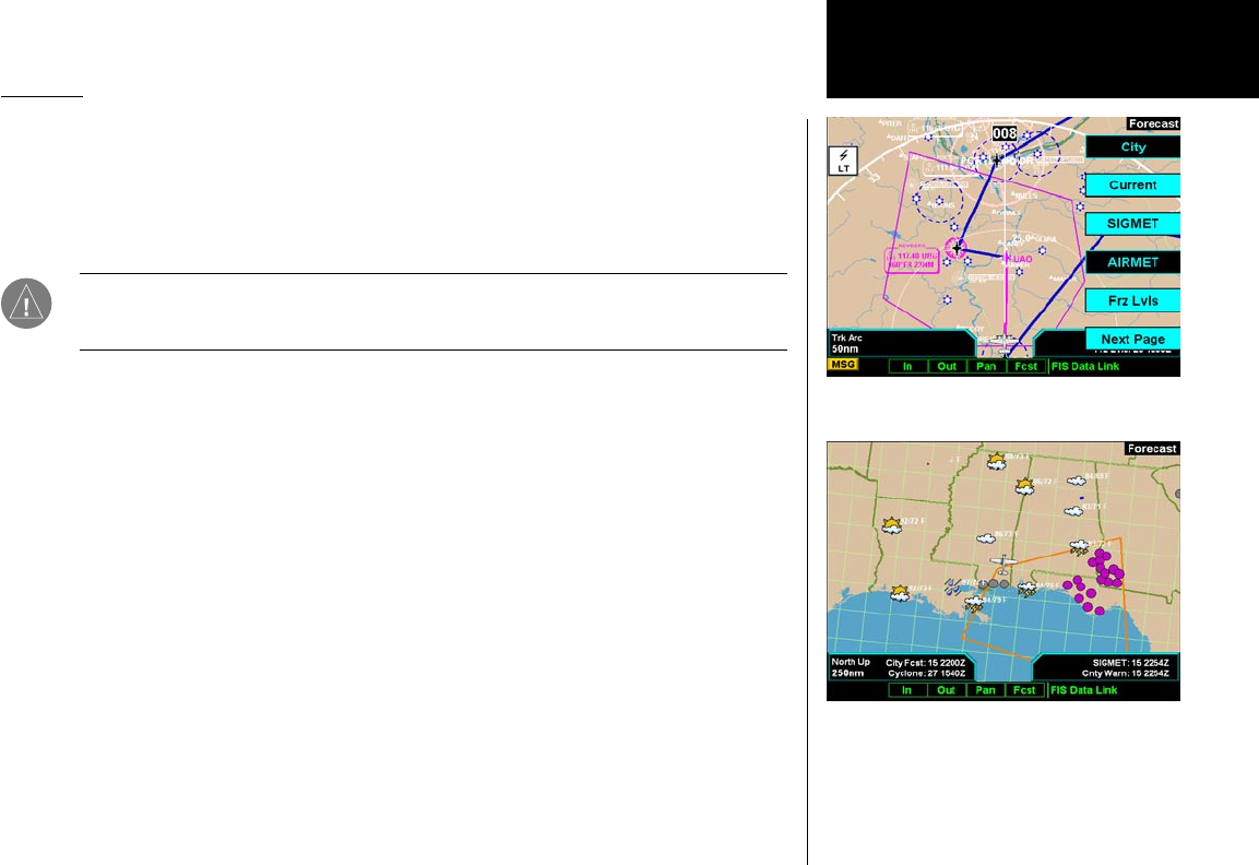
Forecast
Weather forecast information is provided for an available City, SIGMETs, AIRMETs, Freezing Levels, County
warnings, and Cyclones. While using this feature you can also customize the display of information showing
map labels, flight plan line, legend.
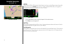
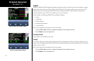
1. Press the FN key and then the FIS function key when displayed.
2. Press the fourth function smart key on the right to select the Forecast (Fcst) sub-function.
3. The Menu/Enter key brings up menu items for more detail on each sub-function.
Note: Forecasts are intended to provide data on expected conditions. Actual conditions may
deviate from the forecast. It is the pilot’s responsibility to obtain current information from of-
ficial sources and to update this information during the flight.
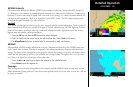
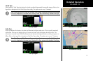
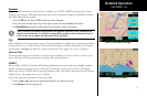
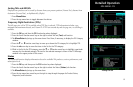
City
When enabled, the City forecast shows current or forecast conditions in available cities. Forecasts are available
for intervals of 12, 24, 36, and 48 hours. This menu item key enables or disables this product. Use the menu
item key below the City key to select the current or forecast time. The update rate is every 12 minutes.
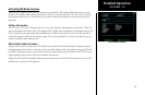
Forecast Time
The forecast time range can be selected to cover the current conditions, 12 hours, 24 hours, 36 hours, or 48
hours. Each press of the forecast time menu item key will step through times.
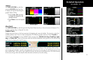
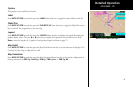
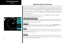
SIGMET
When enabled, SIGMETs (SIGnificant METeorological Information) advise the pilot of potentially hazardous
weather, other than convective activity, to all aircraft. The advisory covers an area of at least 3,000 square
miles at any one time. SIGMET data covers icing, turbulence, dust, and volcanic ash as issued by the National
Weather Service. The update rate is every 12 minutes.
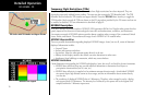
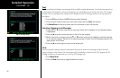
Refer to the Legend for a description of the color coding.
1. Press the or arrow keys to display the legends for the selected services.
2. Press Done to turn the Legends off.
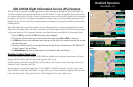
XM FIS Forecast Menu Item Page 1
XM FIS City Forecast
GDL 69/69A - FIS