


95
Detailed Operation
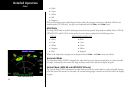
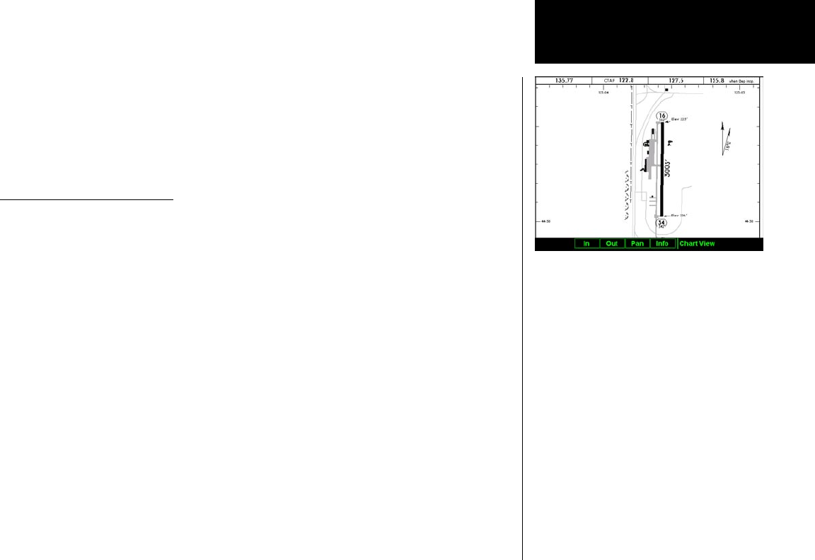
charts, when viewed from the Chart View Function, the aircraft’s ownship position is not shown on the airport
surface chart.
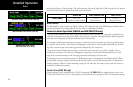
If an approach chart is currently loaded and being displayed (aircraft is in the air), it will take priority over
displaying the airport surface chart. Once the aircraft touches down and the speed drops below the air/ground
threshold, it is assumed that a missed approach procedure is not needed. At this point, the approach chart is
unloaded and the airport surface chart is displayed. While on the ground, airport surface charts will take prior-
ity over any loaded approach chart.
Operational Considerations
When to Load a Chart
An approach chart can be loaded at any point during the flight, including on the ground before takeoff. Note
that the approach will not be shown on the map itself until the aircraft’s speed is above the air/ground speed
threshold. The approach will be automatically unloaded when the aircraft’s speed goes below the air/ground
speed threshold.
Flying an Approach
It is important to recognize that the charts function is not intended to provide guidance information for flying
an approach. Its intended function is to provide basic situational awareness as to your current position relative
to the approach as a whole. Standard IFR-approved instruments MUST be used to actually provide the naviga-
tional information required under IFR conditions.
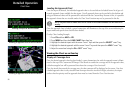
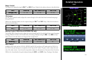
Approach to Surface Map Transitions
Logic is incorporated that will automatically transition the display from an in-flight approach chart display to a
zoomed in view of the airport surface chart upon landing. The intent is to provide a hands-free transition from
the approach phase of flight to the airport surface navigation phase without having to manually un-load the
approach and adjust the zoom scale.
The transition logic is based solely on aircraft ground speed.
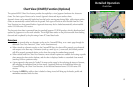
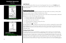
Chart View
Viewing Surface Chart Detail