


94
Detailed Operation
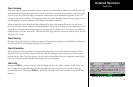
Load Current
The Load Current operation allows the current (viewed) approach chart to be set as the loaded approach
chart. When this operation is performed, any previously loaded chart is replaced with the chart that is cur-
rently being viewed.
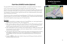
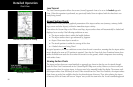
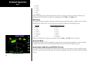
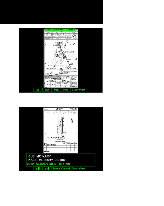
Airport Surface Charts
Airport surface charts provide a graphical presentation of the airport surface area (runways, taxiways, build-
ings, towers and other objects), within the immediate airport vicinity.
From either the Custom Map or the IFR en route Map, airport surface charts will automatically be loaded and
displayed as an overlay if the following conditions are met:
• The airport surface chart is within the loaded database
• The airport surface chart is geo-referenced by Jeppesen
• Airport Chart menu layer is turned on
• The aircraft position is within the coverage of the chart
• A loaded chart is not being “flown”
In typical operation, the above conditions are met when the unit is turned on, meaning that the airport surface
map is displayed as soon as GPS position is acquired. Note that the Zoom Scale Auto-Transition feature deter-
mines the initial zoom scale that is set when the aircraft is on the ground, which is important when working
with surface charts.
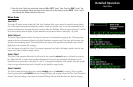
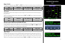
Viewing Surface Charts
The airport surface charts are treated similarly to approach type charts in that they can be viewed through
both the Chart View Function and on the Custom Map/IFR Map as an overlay. However, as there is only one
unique surface chart for a given airport, it does not need to be manually loaded for display. The nearest avail-
able airport surface chart will always be used. When viewed from the Chart View Function, the airport surface
chart shows up as the first available chart for the selected airport of interest. Thus, after selecting the airport
of interest, the list of charts will have an “Airport” entry as the first item in the list. As with standard approach
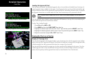
Chart View
Load the Current Chart for Viewing
Selecting a Surface Chart