


64
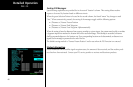
Detailed Operation
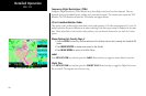
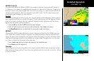
Temporary Flight Restrictions (TFRs)
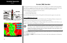
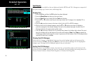
Temporary Flight Restrictions (TFRs) indicate areas where flight restrictions have been imposed. They are
depicted as areas with reddish-brown outlines and a cross-hatch pattern. The area may also contain the TFR
identifier. The TFR identifier includes the TFR number and upper altitude.
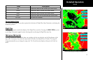
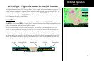
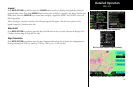
US or Canadian Weather Radar
This option is only available when subscribed to both radar products. WSI offers subscriptions for US and Ca-
nadian radar data. Because of differences in radar technology, both data types cannot be displayed at the same
time. When subscribed to both weather radar products, you can alternate between the two with the Overlay
option.
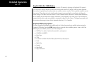
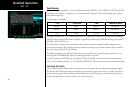
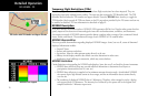
Menu Options for Overlay Page 2
1. Press the OVRL function key to allow selection of the Overlay choices when viewing the Graphical WX
option.
2. Press MENU/ENTER to display menu items for the Overlay.
3. Press MAIN MENU to return to the Main Menu.
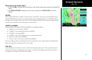
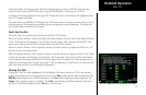
Label
Press MENU/ENTER key and then press the LABEL Menu Item key to toggle the station labels on and off.
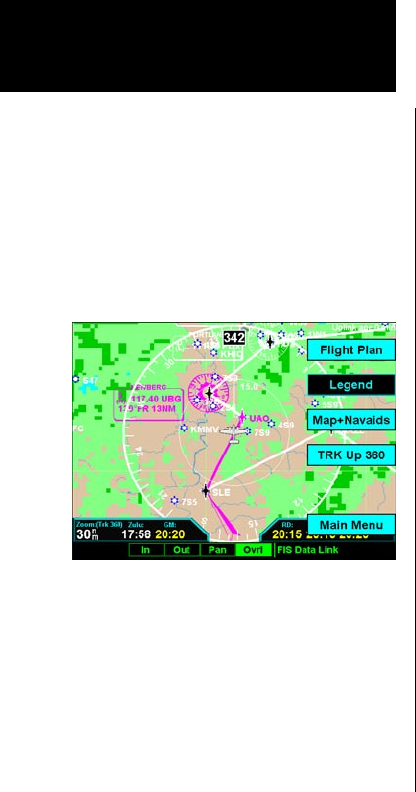
Flight Plan
Press MENU/ENTER key and then press the FLIGHT PLAN Menu Item key to toggle the Flight Plan course
line on and off. The magenta line is the active leg.
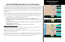
WSI - FIS
WSI FIS Graphic Weather Menu Items