


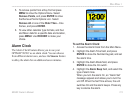
96/96C Owner’s Manual 111
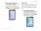
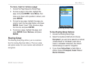
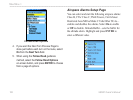
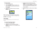
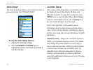
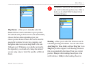
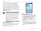
MaIn Menu >
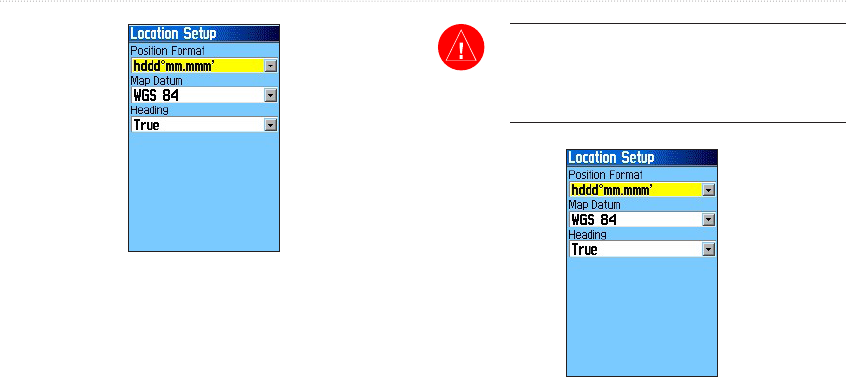
Map Datum—allows you to manually select the
datum reference used to determine a given position.
The default setting is WGS 84. The unit automatically
chooses the best datum depending upon your
chosen position format. Datums are used to describe
geographic positions for surveying, mapping, and
navigation and are not actual maps built in the unit.
Although over 100 datums are available (as listed in
the Appendix), you should only change the datum if
you are using a map or chart that species a different
datum.
WARNING: Selecting the wrong map datum
can result in substantial position errors. When in
doubt, use the default WGS 84 datum for best
overall performance.
Heading—allows you to select the reference used in
calculating heading information. You can select from
Auto Mag Var, True, Grid, and User Mag Var. Auto
Mag Var provides magnetic north heading references
that are automatically determined from your current
position. True provides headings based upon a true
north reference. Grid provides headings based on