


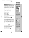
REFERENCE
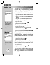
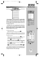
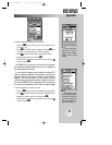
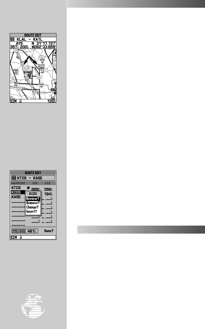
New waypoints can be
added to an existing route
by using a “rubber band”.
Point to the route leg you
wish to add to and press
††
. Drag the “rubber
band” to the new waypoint
and press
††
.
To review, insert, remove
or change a route waypoint
from the text entry window,
highlight the desired way-
point and press
††
.
78
ROUTE OPTIONS (cont.)
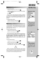
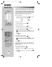
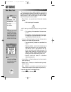
6. To add a new user waypoint to the route (using the ‘Insert?’ selec-
tion), use the
R
keypad to select the desired map position and
press
T
. Press
T
again to confirm the new waypoint.
7. Press
Q
to finish, or
J
to return to the main menu page.
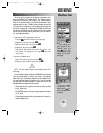
• Edit as Text?— presents a route edit page where you can
add, remove or change the waypoints using the way-
point identifier(s). (Uses the same selections described on
page 76.)
• Delete Route?— deletes all waypoints from the route you
are editing.
To delete the selected route:
1. Highlight the ‘Delete Route?’ option and press
T
.
2. Press
T
to confirm the clear route warning.
• Copy Route?— allows you to copy a route to another route
location. This feature is useful when you make changes to
an existing route and want to save the new route and the
original route. It’s also useful to copy a TracBack route (route
0) to another route to prevent losing the route the next time
a TracBack route is activated.
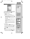
To copy a route:
1. Highlight the ‘Copy Route?’ option and press
T
. The selected
route will appear as the ‘copy from’ route, and the first open storage
route will appear as the ‘copy to’ route.
2. Press
T
to confirm. (If you’d like to change the route number that
is being copied or the open route which is being copied to, highlight
the appropriate field and press
T
. Select the new route number
and press
T
.)
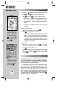
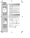
The GPSMAP 195 allows you to monitor, for backup purposes only,
the final course segments of published approaches for thousands of
airports throughout the U.S. and worldwide. The approach informa-
tion is part of the built-in Jeppesen database.
The approaches provide only the final course segment, usually
from final approach fix (FAF) to missed approach point (MAP), and
are based on existing GPS, RNAV, VOR, NDB, localizer or ILS
approach procedures. Regardless of what type of approach it’s based
upon, the procedure is flown as a sequence of waypoints in the active
route. In order to use the approach features, your final destination
must be an airport with a published approach—selected using
G
or as the last waypoint in the active route.
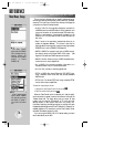
USING APPROACHES
Main Menu: Routes
gps 195 manual C 7/1/99 4:49 PM Page 78