


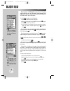
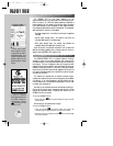
The map page can also
be configured to display
additional data fields and a
graphic course deviation
indicator (CDI) or ground
track compass.
The next main page is the map page. To continue the Takeoff
Tour, let’s select this screen now.
To select the map page:
1. Press
J
or
Q
(repeatedly) until the map page appears.
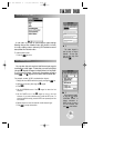
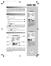
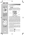
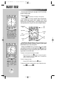
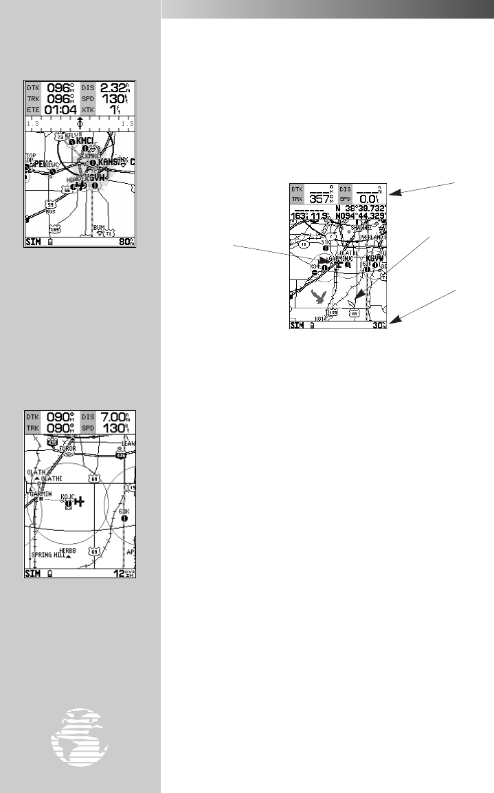
The GPSMAP 195’s map page combines digital charts with a user-
selectable display of navigation data and a built-in Jeppesen database.
Before we take off on our practice flight, let’s take a brief look at its
various features.
The map display, located in the middle of the page, shows your
aircraft as an airplane icon on an electronically-generated chart,
which includes airports, VORs, NDBs, intersections and airspaces.
The map display on your GPSMAP 195 should show the local area
around your present position. An internal base map adds geograph-
ic names, lakes, rivers, coastlines, interstate highways, U.S. highways
and state highways. It also displays your track, routes and nearby
waypoints. An on-screen cursor lets you pan to other map areas,
determine the range and bearing to a position, and perform various
waypoint and route functions. Note the on-screen cursor—as well as
bearing, distance and position information—in the example above.
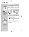
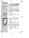
The data window, located at the top of the page, provides a user-
selectable display of various navigation data, including ground track,
ground speed, and the bearing and distance to the cursor (when pan-
ning) or a particular waypoint.
The status bar, located at the bottom of the page, displays the
current map scale setting. The scale setting represents the distance
from the left side of the map display to the right side. To get a
better view of your current surroundings, zoom in or out to provide
the level of detail you desire.
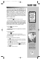
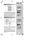
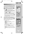
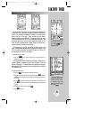
To zoom in or out on the map page:
1. Press the down arrow on the
A
key to zoom in and display more
detail for a smaller area.
2. Press the up arrow on the
A
key to zoom out and display less
detail for a larger area.
18
Aircraft
Icon
Data
Window
Map
Scale
Cursor
TAKEOFF TOUR
MAP PAGE
Use the
AA
key to
zoom in or out, displaying
the desired level of detail.
gps 195 manual C 7/1/99 4:48 PM Page 18