


31
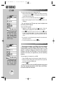
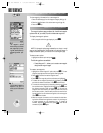
Data for each runway is
available from the runway
designation field. Highlight
this field and press
††
to
display a list of available
runways.
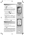
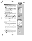
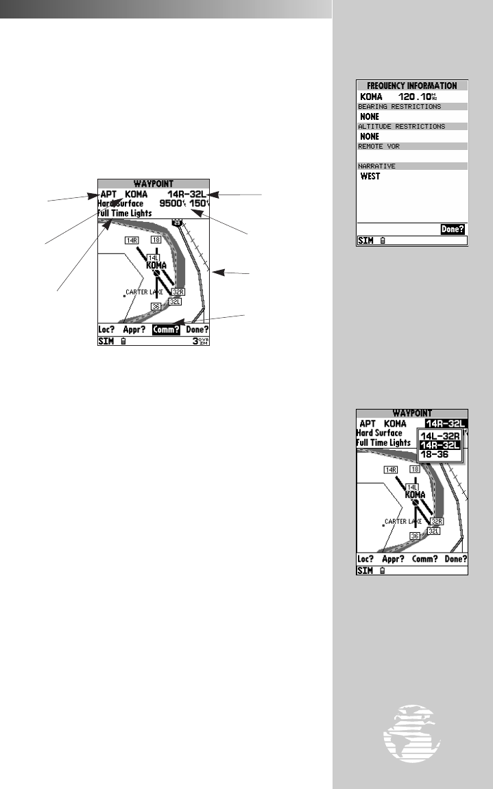
Some frequencies have
usage restrictions, as denot-
ed by the ‘?’ at the end of the
frequency type. By high-
lighting these frequency
types and pressing
††
,
the restriction information
will appear.
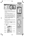
When a frequency type is followed by a question mark (‘?’),
restrictions apply to that frequency. Restrictions based on sector
and/or altitude may apply.
To view frequency restrictions:
1. Highlight the desired frequency type.
2. Press the
T
key. The frequency information page appears with
additional detail about the selected frequency.
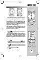
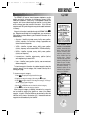
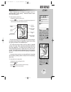
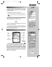
The next airport page is the runway page, which features a diagram
of available runways, along with designations, length, width, surface
and lighting information for the selected airport.
The runway area map provides a north-up graphic of available
runways, with length, width, surface and lighting data listed below
the runway designation. The ‘Surface’ field will display one of the
following surface types: hard, turf, sealed, gravel, dirt, soft, unknown
or water. The ‘Lights’ field will indicate one of five lighting schemes:
part time, full time, pilot controlled (with frequency), no lighting or
unknown.
If the airport has more than one runway, additional runway data
can be viewed by selecting another runway from the runway desig-
nation field.
To view additional runway data:
1. Highlight the runway designation field.
2. Press the
T
key.
3. Use the
R
keypad to select the desired runway.
4. Press
T
to confirm the selection.
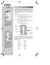
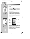
REFERENCE
Airport
Identifier
Other Available
Airport Pages
Runway
Designation
Waypoint
Category
Surface and
Lighting Conditions
Runway Length
and Width
Runway Area
Map
AIRPORT INFORMATION (cont.)
WW
KEY
gps 195 manual C 7/1/99 4:48 PM Page 31