


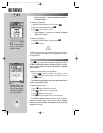
REFERENCE
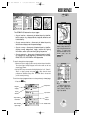
To view additional
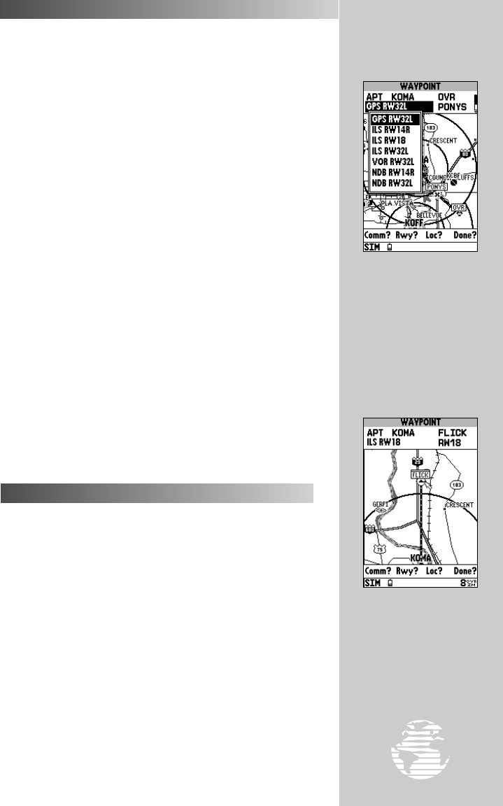
approaches highlight the
approach designation field
and press
††
.
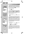
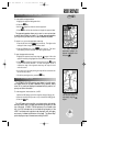
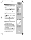
Select the approach area
map and pan around the
map display using the
RR
keypad.
33
AIRPORT INFORMATION (cont.)
To view additional approaches:
1. Highlight the approach designation field.
2. Press the
T
key.
3. Use the
R
keypad to select the desired approach.
4. Press
T
to confirm the selection and display the approach data.
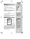
The approach page also allows you to zoom in, zoom out and pan
to see the level of detail you desire. For longer approach segments,
you may wish to pan and zoom in to see the desired map detail.
To zoom in or out on the approach area map:
1. Press the UP arrow of the
A
key to zoom out. The higher scale
setting will show a larger area, but in less detail.
2. Press the DOWN arrow of the
A
key to zoom in. The lower
scale setting will show a smaller area, but in greater detail.
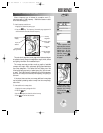
To pan the approach area map:
1. Highlight the approach area map using the
R
keypad. When the
approach area map is highlighted the outline border becomes wider.
2. Press
T
to activate the panning function and use the
R
keypad
to pan in the desired direction. A cursor will appear and as it
reaches the edge of the approach area map, the map will scroll
under the cursor.
3. If you zoom in or out while panning, the map will be recentered over
the last cursor position.
4. To exit the panning function, press the
Q
key.
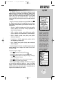
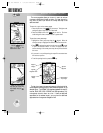
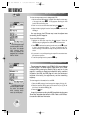
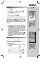
The GPSMAP 195’s VOR waypoint page (shown in the left margin,
next page) allows you to enter a desired VOR by identifier, facility
name, or city name and displays the selected facility’s position, fre-
quency and other information.
To view waypoint information for a VOR:
1. Select the VOR category from the waypoint category field (pg. 27).
2. Enter the identifier, facility name or city of the desired VOR (pg. 28).
3. Press the
T
key.
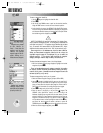
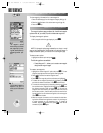
The VOR page lists the identifier, type (terminal/low altitude/high
altitude) facility name, city/state and transmitting frequency at the
top of the page. If DME or TACAN equipment is co-located at the
site, it will be indicated next to the transmitting frequency of the
VOR. The latitude and longitude is also displayed, with the region
and country indicated at the bottom of the page. The ‘Show Map?’
option displays a map of the area surrounding the VOR.
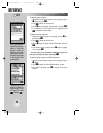
VOR INFORMATION
WW
KEY
gps 195 manual C 7/1/99 4:48 PM Page 33