cGPSmapper Manual Map Project
http://cgpsmapper.com/ 24 of 100
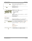
File#=file_name
.plt file from which data will be imported to layer #.
The path could be either
absolute or
relative to the current directory.
For platform portability, it is recommended to use slashes "/"
instead of backslashes "\" to separate directories in the path.
In Unix, file_name is case sensitive.
[END]
Section terminator.
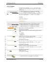
4.2.4.6 Shapes
σ
τ
π
[SHP]
ESRI shape file section identifier.
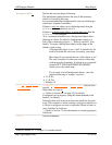
name=file_name
Name of the ESRI files without extension.
This should be the full or relative path for the ESRI files,
without the extension (which should be .shp for files
containing ESRI data).
Type=xxx
Type of objects to be imported from the ESRI files
16 or RGN10 POI
32 or RGN20 cities
64 or RGN40 lines
128 or RGN80 polygons
2 or RGN02 marine polygons
3 or RGN03 marine lines
4 or RGN04 marine points
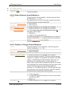
LabelField=field_n
ame
Name of the field - in the associated .dbf file - from which
cGPSmapper will get the Label for each object.
Label2Field=field_
name
Secondary name for roads. Used in cases where you want a
road to have a numeric ID and a name.
The secondary name of the road (road number if highway for
example) - is not visible in the GPS but is used when
searching street by name.
TypeField=field_na
me
Name of the field - in the associated .dbf file - from which
cGPSmapper will get the object_type for each object.
The field_name field must contain a decimal or
hexadecimal value representing the object type.
If both DefaultType and TypeField are specified, an
error occurs, but at least one of them must be specified.
Refer to section 4.4 (on page 39) for details on the valid
object types.
SubTypeField=field
_name
Name of the field – in associated .dbf file – from which
cGPSmapper will get the second byte of the object_type
this is an optional field because the object_type can be
defined using only TypeField


