cGPSmapper Manual Map Project
http://cgpsmapper.com/ 19 of 100
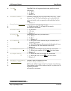
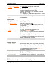
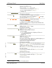
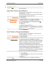
City=x
Indicates if the POI is a city.
Only used if the [POI] alias is used.
N or 0 not a city (instead of [RGN10])
Y or 1 city (instead of [RGN20])
Default = N
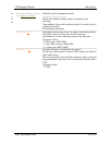
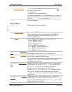
Label=object_name
Name of the object to be shown on the map.
80 characters maximum.
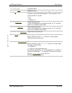
EndLevel=#
Refer to section 4.4 (on page 39) for details.
The coordinates in the lowest numbered Data# line apply
up to the specified EndLevel=#.
Data#=(lat,lon)
Origin#=(lat,lon) may be used instead.
Object data for layer #.
Refer to section 4.4 (on page 39) for details.
Coordinates are in degrees, using the datum defined in the
header
5
(or default).
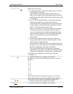
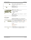
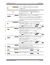
StreetDesc=xxx
Applies to [RGN10] only.
Address for the [RGN10] object.
80 characters maximum.
OvernightParking=x
Applies to [RGN10] only.
Indicates if 24 hr parking is allowed.
N or 0 No
Y or 1 POI at the exit of a highway will have an
'overnight parking' flag.
Default = N
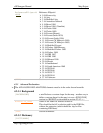
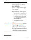
Highway=xxx
Applies to [RGN10] only.
Name of the Highway.
This name will be added to the list of available highways, so
it can be searched in some GPS devices.
Garmin does not support this feature.
80 characters maximum.
σ
τ
π
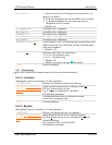
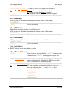
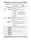
CityName=xxx
For [RGN20] CityName has the same meaning as Label.
If both Label and CityName are provided, the one which
appears later in the file is used.
For [RGN10] CityName is the name of the city to which
the object belongs.
Can be used only together with keys RegionName and
CountryName.
80 characters maximum.
σ
τ
π
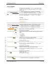
RegionName=xxx
Name of region to which the object belongs.
Can be used only together with keys CityName and
CountryName.
80 characters maximum.
5
Refer to section 4.2.1, on page 9, for further details.


