


29
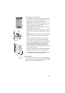
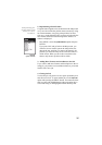
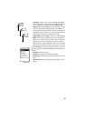
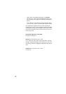
Map Setup screen,
Display tab
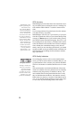
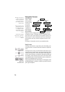
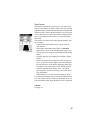
Track Mode,
Fixed Rate
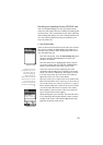
Track Mode,
Auto
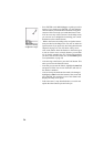
Track Mode,
Auto Detailed
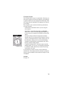
- Track Mode: Allows you to set how often MobileMapper
stores track points. Setting the mode to
Off stops the unit
from saving any new track points. With
Auto or Auto
Detailed
enabled, MobileMapper uses a method for track
point storage that maximizes memory. Using
Auto, you
will see more points on and near turns and less points on
straight stretches of the map. You also have the option of
selecting fixed intervals for track point storage.
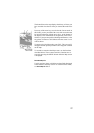
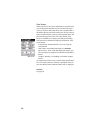
-
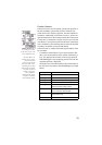
Primary Usage: MobileMapper can be set to either Land or
Marine usage. When in Land (default), the map displays
land areas in white and water areas in blue. For marine
applications it may be desirable to reverse the display,
showing water as white and land as blue. This will make
reading some of the data information on the water easier.
From the
Display tab, you can customize the Map screen by
specifying the items that MobileMapper should display on
the map:
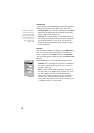
-Waypoints (default: checked)
-
Track Lines (a dashed line; Default: Checked)
-
Pos-Dest Line (line connecting current position to destina-
tion)
-
Depart-Dest Line (line connecting initial position to desti-
nation)