


81
SECTION
H
APPENDIX
Loran TDs
Loran TD System
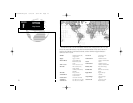
LORAN C is a radio navigation aid operated and maintained in the United States
by the United States Coast Guard. The name LORAN is an acronym for "LOng
RAnge Navigation". The LORAN system covers the entire United States and the
U.S. Coastal Confluence Zone. From the perspective of a mariner, the system is
used for ocean and coastal navigation. It can be used as a supplemental system for
harbor and harbor approach navigation, and it is used for inland navigation by
recreational vehicles.
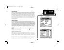
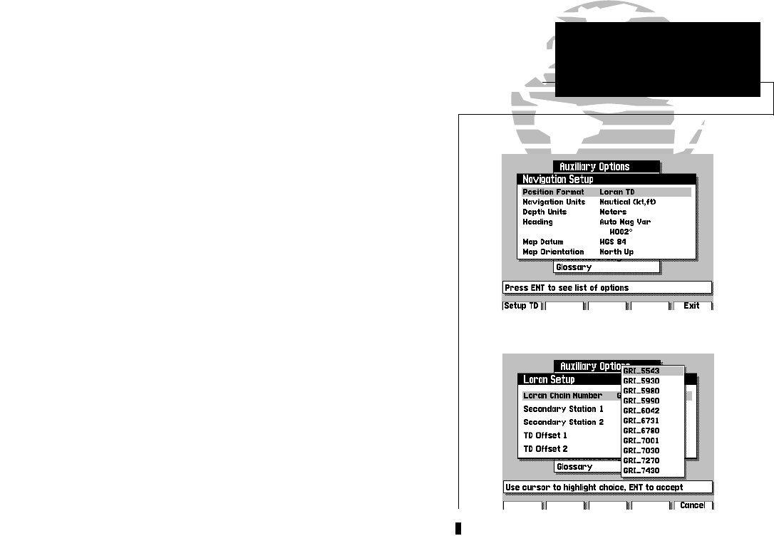
LORAN TD Feature
The LORAN TD(Time Delay) feature eases the transition from using LORAN to
using GPS. The GPSMAP unit automatically converts GPS coordinates to LORAN
TDs for those who have a collection of LORAN fixes for favorite fishing spots and
other waypoints recorded as TDs. You can display your position as a TD or enter
waypoints as TDs. The accuracy to be expected from this conversion is approxi-
mately thirty meters. When the unit is placed in the LORAN TD format mode, it
simulates
the operation of a LORAN receiver. Position coordinates may be
displayed as TDs, and all navigation functions may be used
as if
the unit were
actually receiving LORAN signals.
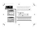
Using the LORAN TD Format
When creating new waypoints using LORAN TD coordinates you must set the
correct LORAN chain number and secondary stations in the Setup TD field before
storing the waypoint. After the waypoint is stored in unit memory, it will always
reference the LORAN chain number and secondary stations currently selected in
the Setup TD field. If you enter a different LORAN chain number, change the
secondary stations or offsets in the Setup TD field, the active waypoint
215225manb.qxd 4/27/00 9:22 AM Page 81