


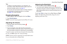
GPSMAP 620 and GPSMAP 640 Owner’s Manual 11
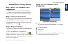
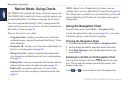
Marine Mode: Using Charts
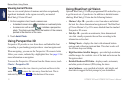
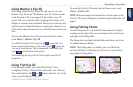
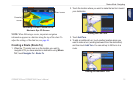
Using Mariner’s Eye 3D
When using a BlueChart g2 Vision SD card, you can view the
Mariner’s Eye 3D screen. The Mariner’s Eye 3D screen is similar
to the Perspective 3D screen (page 10), but renders a true 3D
screen. This view is helpful when navigating tricky shoals, reefs,
bridges, or channels, and is benecial when trying to identify entry
and exit routes in unfamiliar harbors or anchorages. Mariner’s Eye
3D provides a three-dimensional view of both the shore and the sea
oor.
To access the Mariner’s Eye 3D screen from the Home screen,
touch Charts > Mariner’s Eye 3D.
As with the Perspective 3D screen, touch
to move the view
closer to your boat and lower to the water. Touch to move the
view away from the boat. This is momentarily indicated by the
scale ( ) at the bottom of the screen.
Touch and drag the map to the left or the right to pan the 3D
perspective.
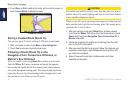
Using Fish Eye 3D
Using the depth contour lines of the BlueChart g2 Vision
cartography, Fish Eye 3D provides an underwater view of the sea
oor or lake bottom. The and buttons adjust the view in the
same way as the Mariner’s Eye 3D.
To access the Fish Eye 3D screen from the Home screen, touch
Charts > Fish Eye 3D.
NOTE: When navigating, the magenta line will not appear on the
Fish Eye 3D screen, although any enabled navigation data bars will
appear.
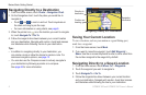
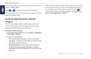
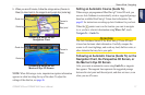
Using Fishing Charts
Use the shing chart to view detailed bottom contours and depth
soundings on the chart. There are no navigation aids such as buoys
and lights on the shing chart.
The shing chart uses highly detailed bathymetric data, and is best
for offshore deep-sea shing.
NOTE: The Fishing chart is available if you use a BlueChart
g2 Vision SD card or a BlueChart g2 SD card, or if your built-in
map supports Fishing charts.
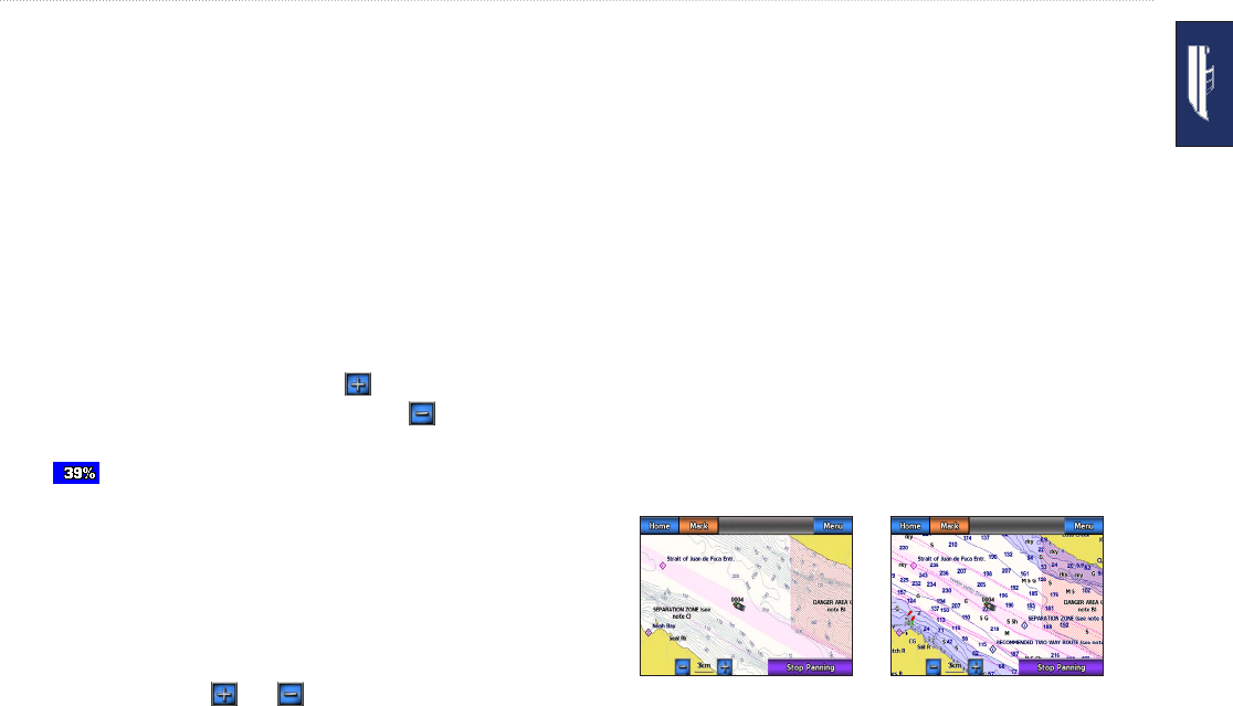
Navigation Chart
Fishing Chart