


85
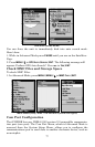
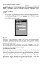
1. From the Map Page, go to the simulator menu. Pick a
STARTING PO-
SITION
at or near the beginning of your trail/route. Enter an approximate
TRACK (shown in compass degrees) that will point you toward the start
of the trail/route.
2. Set
SPEED to zero. Select STEER WITH ARROWS command and press ENT,
which turns on the simulator and returns you to the Map Page.
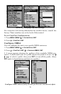
3. Begin navigating along the trail/route. (If you are close enough to the
first waypoint, the arrival alarm will usually go off as soon as naviga-
tion begins. Press
EXIT to clear the alarm.) When navigation starts,
press ↑ (since you're using the Simulator's
STEER WITH ARROWS command)
to increase speed to the desired level.
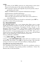
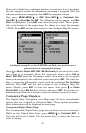
4. Press
EXIT to turn off the steering and speed boxes. The unit now will
automatically steer along the trail or route. When you arrive at your
destination, cancel navigation.
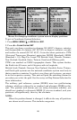
Map Auto Zoom
The iFINDER HUNTc has an auto zoom feature that eliminates much
of the button pushing typical of other brands of GPS receivers. It works
in conjunction with the navigation features.
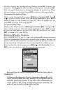
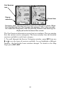
First, start navigation to a waypoint. (See the waypoint section for
more information on navigating to a waypoint.) Then, with the auto
zoom mode on, the unit zooms out until the entire course shows, from
the present position to the destination waypoint. As you travel toward
the destination, the unit automatically begins zooming in — one zoom
range at a time — always keeping the destination on the screen.
To turn on this feature, from the
MAP PAGE, press MENU|↓ to AUTO
ZOOM|ENT. Repeat these steps to turn it off.
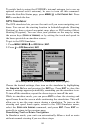
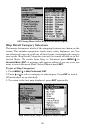
Map Data
This menu lets you turn off the map (which will turn the map screen
into a GPS plotter); turn off or on the pop-up map info boxes; draw the
map boundaries or boxes around the areas of detail and fill land areas
with gray. You can also turn on or off Map Overlays, which display lati-
tude and longitude grid lines or range rings on the map. This menu also
lets you select Navionics Maps. For more instructions, see the Navion-
ics Charts entry in this section.
To get to Map Data:
1. From the Map Page, press
MENU|↓ to MAP DATA|ENT.