


iQue 3600a Que Applications Guide 29
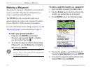
To set the bug indicator:
1. From QueMap, tap the Menu icon .
2. Tap Set Bug Indicator.
3. A list of Bug Indicator options appears. Tap Off
to turn the Bug Indicator off.
Tap Bearing to show the bearing to the
destination waypoint.
Tap Course to Steer to show how you need
to steer to stay on course. Course to Steer is
selected by default.
Tap User Selected to enter a heading
reference. This provides a visual cue of an
important heading for current or future use.
4. Tap OK when finished.
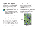
To set the CDI (Course Deviation Indicator)
scale:
1. From QueMap, tap the Menu icon .
2. Tap
Set CDI Scale.
3. Tap the desired setting.
You can also set the CDI Scale and Bug Indicator for
QueNav. Open QueNav and follow the steps listed
above.
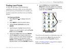
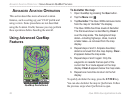
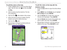
To
measure the distance between two
points:
1. From QueMap, tap the Menu icon to open
the options menu.
2. Tap Que to display the Que options menu.
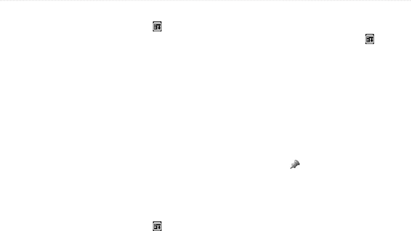
3. Tap Measure Distance. The Measure
Distance map opens. A push pin appears on
the map at your present position. This is the
location from which you will measure (the start
point).
To move the push pin to a different location,
tap the desired location on the map. Tap the
push pin icon in the toolbar.
4. Tap the point to which you want to measure
(the end point). The bearing and distance from
the starting point (push pin) are displayed
along the bottom of the screen.
5. Tap Done to finish.
You can use the Aviation Cradle to measure distance.
Press the Rocker key to select a start point and press
ENTER. Press the Rocker key to select the end
point. Press ESCAPE when done.
ADVANCED AVIATION OPERATION > USING ADVANCED QUEMAP FEATURES