


Garmin aera 500 Series Pilot’s Guide
190-01117-02 Rev. A
61
GPS Navigation
Overview GPS Navigation Flight Planning Hazard Avoidance Additional Features Appendices Index
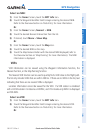
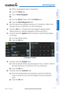
1)
From the ‘Home’ Screen, touch the Map Icon.
2)
Touch the desired city symbol on the map.
3)
Touch the Map Feature Button with the desired city displayed (refer to
the Overview Section on 'Map Panning' for more information). The city
information is displayed.
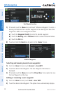
ARTCC
ARTCC information can be viewed using the Nearest function.
The Nearest ARTCC function can be used to quickly find a ARTCC close to the flight
path. The list only includes ARTCC that are within 200nm. If there are no ARTCCs in
the list, text indicating that there are no nearest ARTCCs is displayed.
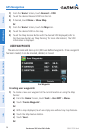
Select an ARTCC:
1)
From the 'Home' Screen, touch Nearest > ARTCC.
2)
Touch the buttons to cycle through the list. The associated bearing,
distance, and frequencies are displayed.
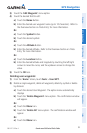
FSS
FSS information can be viewed using the Nearest function.
The Nearest FSS function can be used to quickly find a FSS close to the flight path.
The list only includes FSS that are within 200nm. If there are no FSSs in the list, text
indicating that there are no nearest FSSs is displayed.
FSS frequencies and phone numbers can also be found using the AOPA Tab when
reviewing information for an airport. Refer to the Additional Features Section on
'AOPA' for more information.
Select an FSS:
1)
From the 'Home' Screen, touch Nearest > FSS.
2)
Touch the buttons to cycle through the list. The associated bearing,
distance, and frequencies are displayed.
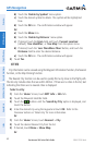
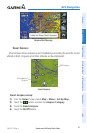
AIRSPACE
The Nearest Airspace function and Airspace Alerts provide information about
airspaces and the location of the aircraft in relationship to them. The Nearest Airspace
function can be used to quickly find airspaces close to the flight path.