


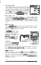
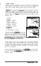
program and use your own entered value for the variation by selecting the
1
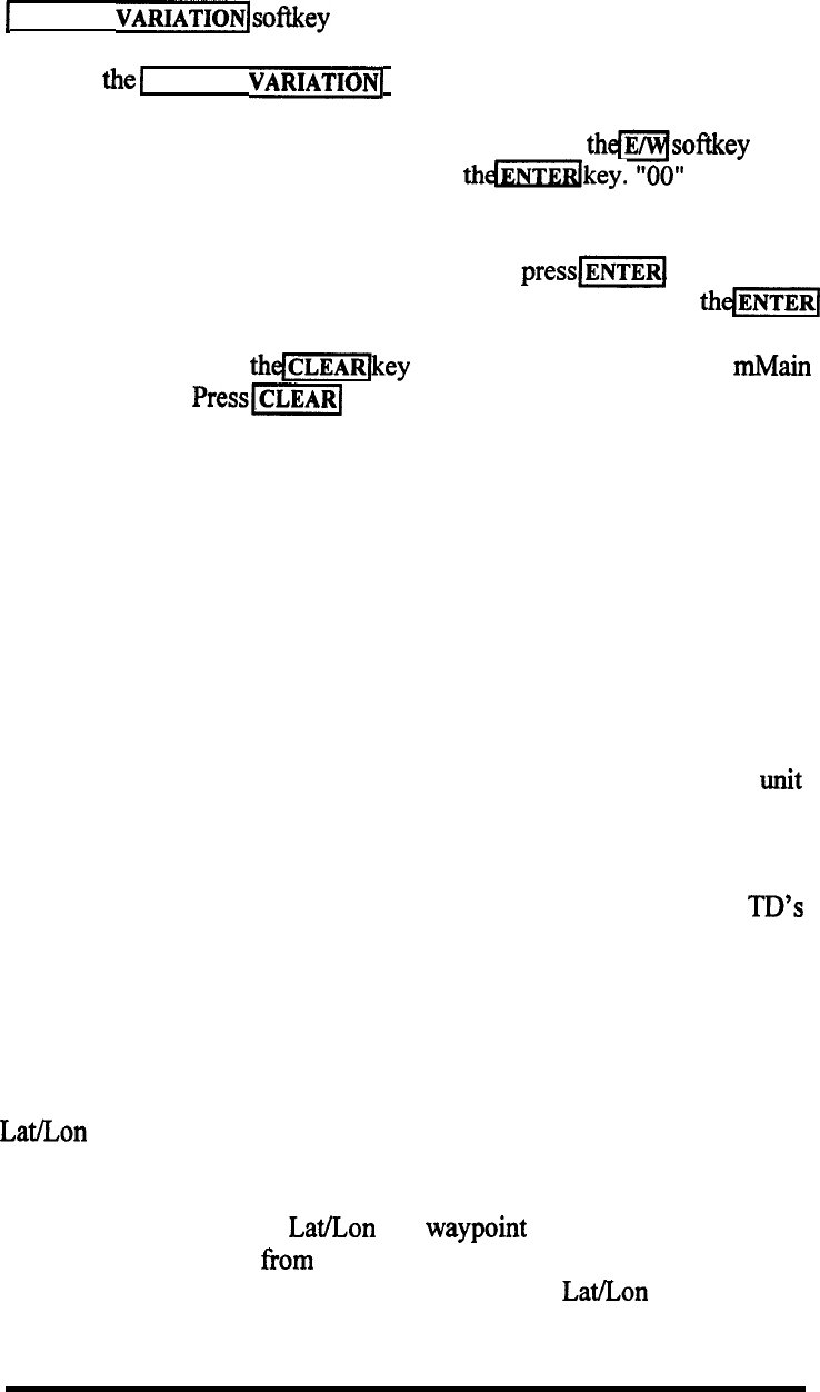
MANUAL VARIATIONlsof&ey .
When
the1
MANUAL
VARIATIONI
key is pressed, you must first decide
whether the direction of the variation is East or West. The direction already
selected is displayed at the left side of the screen. Press
thmsoftkey
if the
direction should be changed and then press
thmdkey.
“00”
appears next
to the direction character.
Now type the numeric value of variation and
press[wi
The unit will
now be in magnetic mode, but using a fixed variation value. When
the//[
key is pressed, the entered variation will now be applied to all Course and
Bearing readouts. Press
thejjkey
and you will shift back to the mMain
menu directory.
Press-[
a second time to get back to the last used
display mode.
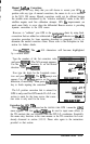
3.10.4.2 Position Corrections- Loran
The NAV 398 unit has Position corrections that are available for use with
Loran-C navigation and corrections that apply to GPS navigation. If you
happen to be using both senors in your system, the menus that appear on the
screen will be determined by the sensor that is currently selected for use. To
apply corrections to the loran L/L you will need to be sure the unit is in the
loran mode. Conversely, be in GPS mode to do GPS corrections.
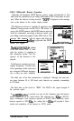
The NAV 398 includes automatic correction programing for both the Loran
and the GPS modes and these programs are normally operating when the unit
comes from the factory.
Loran Position Corrections
When the loran sensor measures the loran signal time differences, the TD’s
received are rarely perfect by the time they reach your boat. They usually
contain some errors to signal timing developed as the signals travel across
land due to various distortions of the terrain along the path of the radio waves.
Fortunately, the error values are generally known for most of the loran
coverage areas and a table of corrections (ASF) is built into your loran
sensor.The ASF program helps to correct the loran time differences so the
Lat/Lon readouts will match marine chart coordinates and your GPS more
closely.
The NAV unit only uses
Lat.&on
for waypoint navigation calculations.
When navigating to and from waypoints, the loran performs its bearing and
distance, TTG, XTE calculations by comparing the
Lat/Lon
values. Upon
OPERATION 3-49