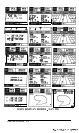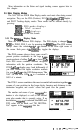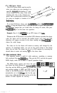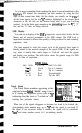
Example:
Press
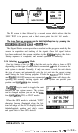
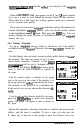
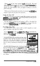
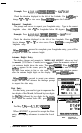
4,2,0,5,0,0~~,~/,
for N42’05.00’
Check the direction displayed to the left of the Latitude. Use
thakey
to
change
“S”
to
“N”
or vice versa.
Press-it0
save the Latitude.
Estimated Longitude
The prompt now moves to request your Longitude entry . Type in the correct
longitude value. Add a
“0”
for Longitudes below 100 degrees.
Pres!$Ml
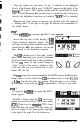
Example:
Press
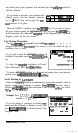
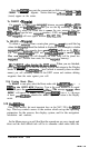
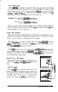
0,6,9,5,9,8,5,[~,~~,
for W69’ 59.85’
Check the direction displayed to the left of the Longitude. Press
thelE/wI
key to change “w” to
“E”
or vice versa. Press
(ENTER1
to complete the
longitude entry.
Whenvlis
pressed to complete your Longitude entry, you will be
prompted to enter the antenna height.
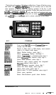
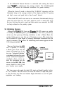
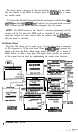
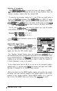
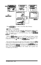
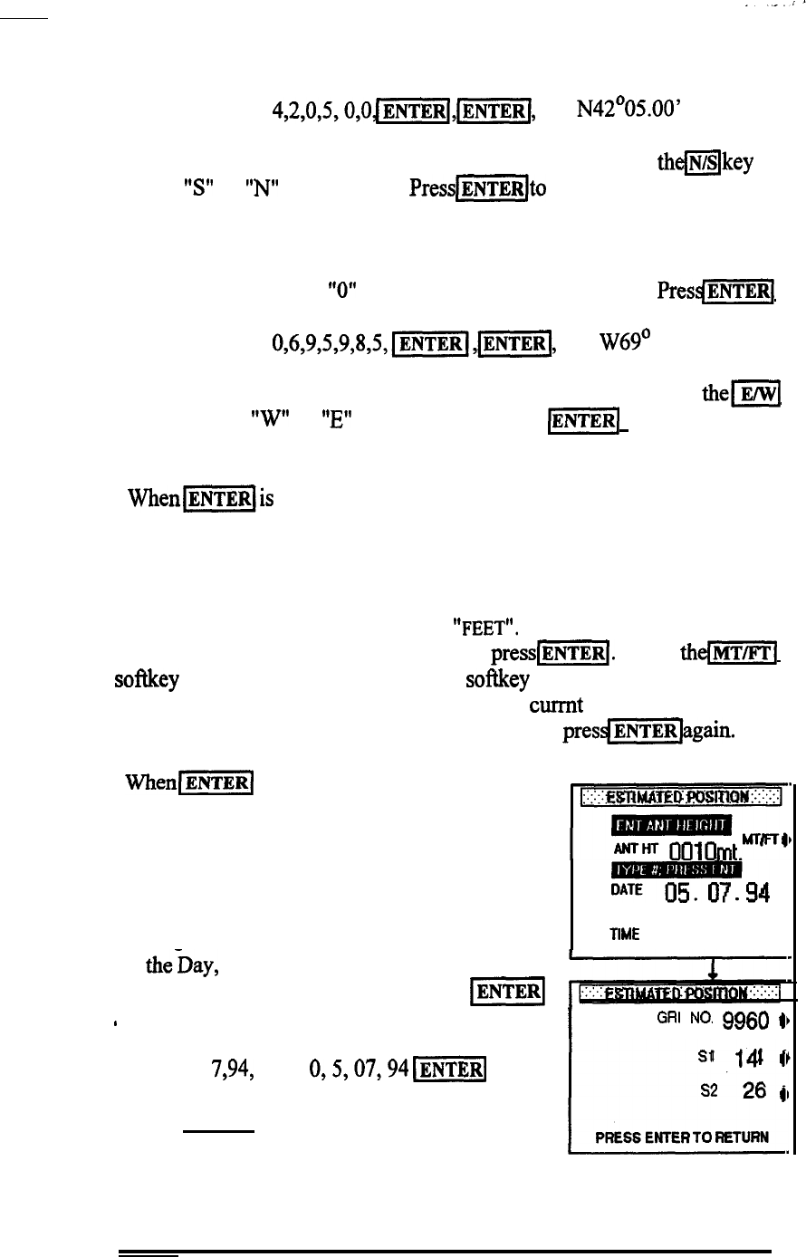
Antenna Height Entry
The display changes and prompts to
"ENTER ANT HEIGHT"
above sea level
in METERS (3.28 feet = 1 meter) or in
"FEET".
Enter the numeric value of
you antennas height above the water. Then
press-j.
When
thdm[
softkey appears on the screen, press the softkey only if you want to change
the units from meters to feet or vice versa. The currnt units selection appears
after the antenna height digits on the display. Then
presdmbgain.
When\-1
is pressed to accept your antenna
height, the unit will advance the message prompt
to request the date entry.
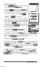
Date Entry
For this entry you need to type in sequence the
two digits of the Month, followed by two digits
for
theDay,
followed by two digits for the current
Year. When the readout looks OK,
press
IENTER]
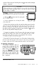
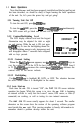
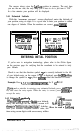
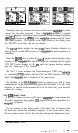
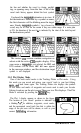
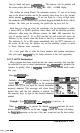
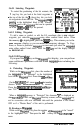
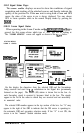
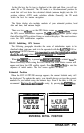
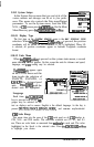
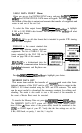
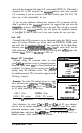
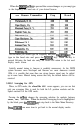
-94
IME
18.25.14
.
I
GRI
NO.
9960
41
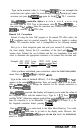
When (ENTER7 is pressed to accept the Date
entry, the display advances to enter the Local
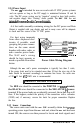
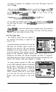
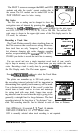
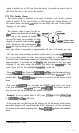
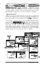
L-
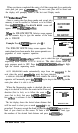
PRESS ENTER TO RETURN
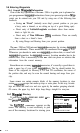
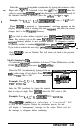
For May
7,94,
press 0,5,07,94
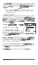
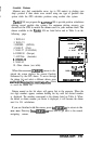
-1
Sf
14
9
s2
26
II
time.
NOTE:
RETURNS TO
SIGNAL STATUS
, OPERATION 3-42