


21
Main Pages
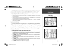
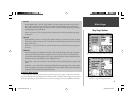
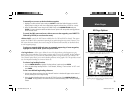
Map Page Options
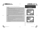
Area Tab
River/Lake/Park/Other— Text Off, Small, Medium, and Large: controls the screen size of river, lake,
park or other area names. Zoom Auto, Off, 20 ft.-800 mi: sets the maximum scale at which rivers,
lakes, parks or other areas appear on the screen. ‘Other’ areas include wetlands, glaciers, parking lots,
university campuses and reservations.
Metro— Zoom Auto, Off, 20 ft.-800 mi: sets the maximum scale at which metropolitan areas appear
on the screen.
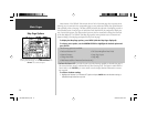
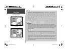
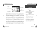
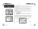
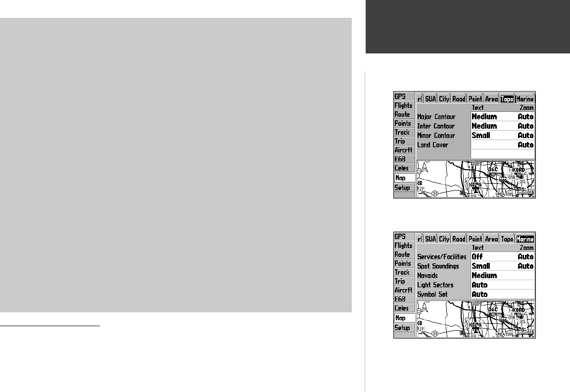
Topo Tab
Major/Inter/Minor Contour— Text Off, Small, Medium, and Large: controls the screen size of contour
line elevation numbers. Zoom Auto, Off, 20 ft.-800 mi: sets the maximum scale at which contour lines
appear on the screen.
Land Cover— Auto, Off, 20 ft.-800 mi.: sets the maximum scale at which land cover areas appear on
the screen.
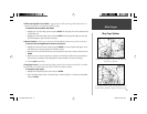
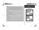
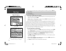
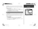
Marine Tab
Marine Services/Spot Soundings/Marine Navaids— Text Off, Small, Medium, and Large: controls the
screen size of marine feature names or numbers. Zoom Auto, Off, 20 ft.-800 mi: sets the maximum
scale at which marine features appear on the screen. Optional MapSource marine navaid information
includes day markers, mile markers, buoys and lighted markers.
Light Sectors— Auto, Off, 20 ft.-800 mi.: sets the maximum scale at which light sectors appear on the
screen.
Symbol Set— Auto, Garmin, NOAA, International: determines the symbology use for marine navaids
on the map display. ‘Auto’ will cause the GPSMAP 196 to use the default symbol set for the MapSource
cartography currently loaded on an optional data card.
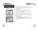
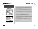
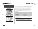
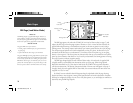
Setup Map Menu Options
As you may have noticed from the tab selections shown on the last fi ve pages, a wide variety of informa-
tion can be depicted on the map display! After making a number of changes to map settings, you may wish to
return the map settings for a particular fi le tab, or even all map settings, back to the original factory defaults.
‘Topo’ settings are used with optional MapSource Topo data.
‘Marine’ settings are used with optional MapSource BlueChart,
Waterways & Lights or Fishing HotSpots data.
190-00283-00Backup.indd 21 12/8/2002, 8:08:58 PM