


Page 22 3 — Basic Navigation
3 — Basic Navigation3 — Basic Navigation
3 — Basic Navigation Rev. D
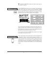
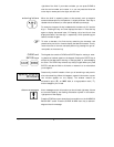
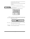
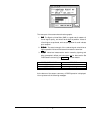
O DISPLAY the coordinates of your current position, simply press
the button marked
POSITION
. A screen is displayed showing your
position coordinates at the top, and your Course-Over-Ground (COG)
and Speed-Over-Ground (SOG) at the bottom. (If you see the
PLOT
screen displayed instead of your position coordinates, just press the
POSITION
button again).
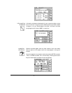
GPS position coordinates are displayed as latitude and longitude. You
may choose to display loran coordinates instead, as described below.
(Loran coordinates may be obtained from a loran receiver connected to
the 941X, or may be calculated by the 941X from the GPS position coor-
dinates.)
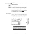
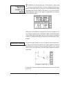
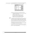
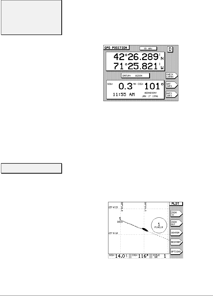
The position plotter screen is a “north-up” display, and provides an over-
all view of the surrounding area and all nearby waypoints. Press the
POSITION
key to show your position plotted relative to your current
route (if any), your track history, and any nearby waypoints and avoid-
ance points.
A maximum of 30 local waypoints can be displayed on the plotter screen
at one time.
Displaying
Position,
Heading &
Speed
T
Position Plotter