


Nothing Comes Close to a Cobra
®
65
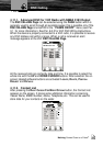
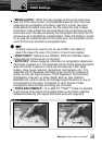
“MIXING LEVELS”: When the map coverage at the current zoom level
does not fill the entire screen, the chartplotter draws the rest of the map
expanding the cartographic information read from, at most, two zoom
levels above the current zoom level. For this reason the map is drawn
three times: firstly it draws the two levels before the current level and then
the current level. The area covered by the cartographic data read from the
previous levels is identified by a dotted pattern. When the Pointer is moved
on an area not covered by data of the current level the chartplotter zooms
out to the first level covered by cartographic data.
The Mixing Levels function works only with the new C-CARDs. It also affects the
speed of the redraw of the screen. If this function is not used it may be disabled.
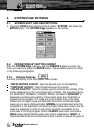
“USER POINTS”: Selections are VISIBLE, ICON and HIDDEN. Visible
shows both file name and icon on the chart.
“AUTO INFO”: Allows displaying information on cartographic object when
the Pointer is placed on it. The Automatic Info On Points shows information
when the Pointer is placed on points (as Port Services, Tides, lights,
wrecks, rocks, buoys, beacons, obstructions, land markers, etc.). The
Automatic Info On All shows information when the Pointer is placed on
points, on lines (as Depth contours, Traffic Separation, Territorial Sea,
Cartographic Lines etc.) on areas (Depth, Built-up, Sea, Attention,
Restricted etc.) and on names (on the beginning of the text or on any of
the characters of the name). The details on Land, Source of Data,
Cartographic Area and Spot Soundings are not shown.
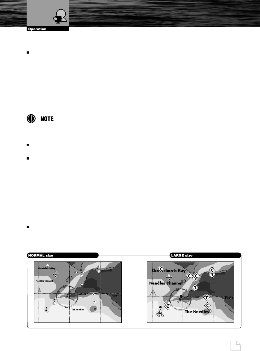
“FONTS AND SYMBOLS”: On C-MAP NT
+
TM
/MAX
TM
charts it is possible
to set the size of all names and symbols drawn on the charts, selecting
between Normal size (the regular characters size) and Large size.
Chart Settings