


Nothing Comes Close to a Cobra
®
49
4. ADVANCED OPERATION
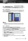
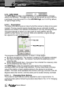
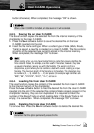
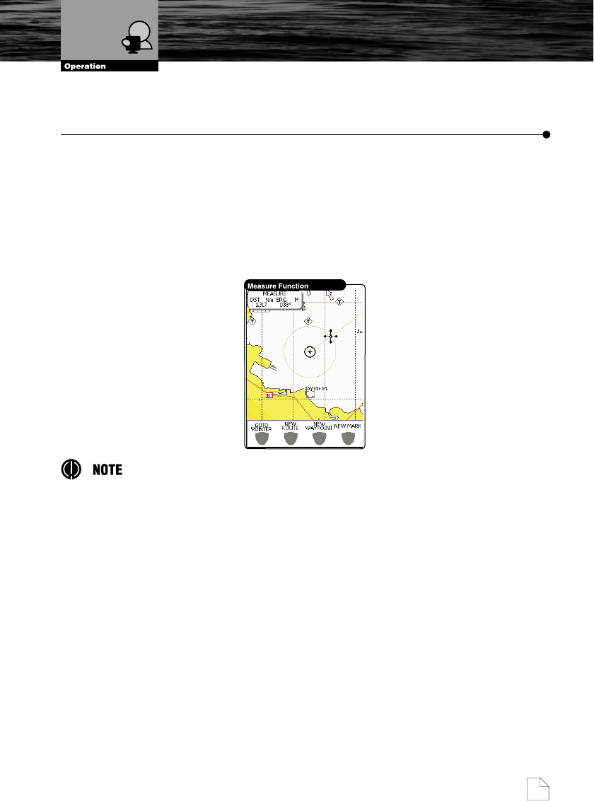
4.1. MEASURE FUNCTION
The MEASURE Function allows you to measure the distance and bearing
from one location to another. The starting point can either be the vessel
location or the Pointer location on the chart.
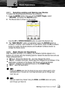
1. Press the MENU button from one of the CHART Pages, select
“MEASURE” and press the ENTER button.
2. Move the Pointer and the DST (Distance) and BRG (Bearing) relative to
the starting location will be shown on the chart.
This feature can be used for precise navigation or to quickly gauge the distance
from one location to another. Move the Pointer to any location to start the
“MEASURE” function from that location.
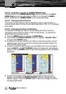
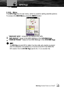
4.2. ADVANCED WAYPOINT OPERATIONS
Now that you have had a chance to became familiar with your new
chartplotter, there are a great number of advanced features that you will find
helpful. You may delete Waypoint from a Route, insert a Waypoint between
two existing ones, move any Waypoint in the Route to another location, or
modify a Waypoint.
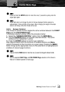
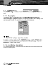
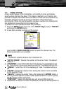
4.2.1. Deleting a Waypoint
You can delete any Waypoint in the Route:
1. Use the CURSOR buttons to place the Pointer on existing Waypoint which
you want to delete.
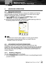
Measure Function
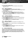
Advanced Waypoint Operations